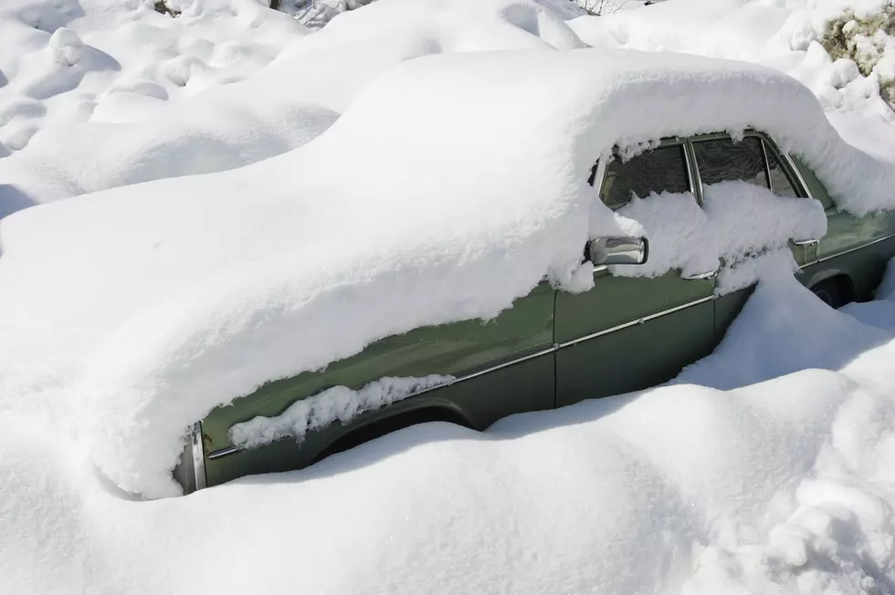
Take The New Wind Chill Warning Seriously In CNY
The previous wind chill watch has been upgraded to a wind chill warning from 10 pm tonight until 7 am Sunday.
The National Weather Service out of Binghamton says 'this incoming blast of Arctic air will be the coldest so far this winter, and low temperatures will persist through the weekend. Prolonged very cold air could lead to problems with frozen pipes if preventive measures are not taken. Improper use of alternative heat sources could result in carbon monoxide poisoning.
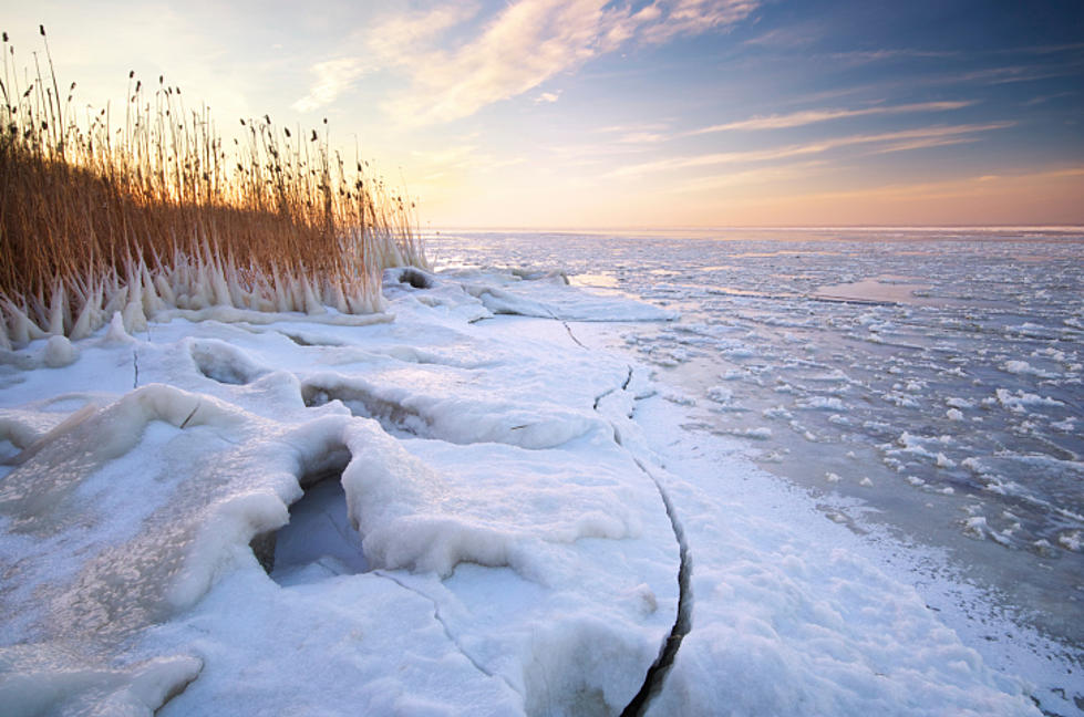
WHAT...Dangerously cold wind chills expected. The dangerously cold wind chills will cause frostbite in as little as 10 minutes to exposed skin. Expect wind chills to range from 10 below zero to 30 below zero, with lowest values occurring late Friday through early Saturday.
WHERE... Oneida, Yates, Steuben, Schuyler, Chemung, Tompkins, Cortland, Chenango, Tioga and Broome Counties.
WHEN...From 10 PM this evening to 7 AM Sunday.
ADDITIONAL DETAILS...The dangerously cold wind chills will cause frostbite in as little as 10 minutes to exposed skin, especially late Friday through early Saturday. Also, the very cold air could cause freezing of vulnerable exposed plumbing, if preventive measures are not taken.
Here's a look at the latest forecast from the National Weather Service.
Keep Up To Date
Take us everywhere you go with our new App. The new app lets you call, message or tweet at us anytime and send us photos and videos. The app also gives you the ability to receive notifications about breaking news, weather alerts, traffic advisories and school closings happening in and around Central New York.
Winter Weather Preparation:
- Keep your cell phone charged and make sure you know where your backup power supply is.
- Make sure all your flashlights have fresh batteries.
- Fill your gas tank. You can use your car to keep warm and recharge devices.
- Have some food available that you don’t need to cook.
- Download the App. You’ll receive local alerts, weather reports and more with push notifications.
['Information from Weather.gov]
Bonus Video:
More From 96.1 The Eagle