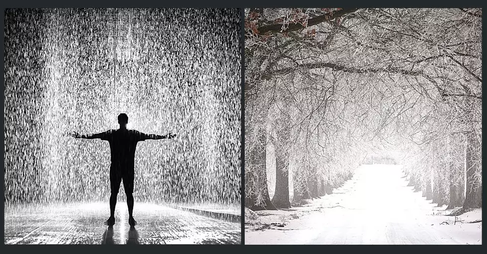
Central New York to Receive a Brief Visit from Ol’ Man Winter Veteran’s Day Weekend
It looks as though Ol' Man Winter will be making a brief appearance in Upstate and Central New York later this week.
Temperatures will dip to their lowest since early spring, 2017.
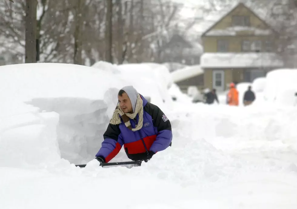
Accuweather meteorologist Brian Edwards says the cold air will come in two parts. The first wave will bring rain showers and possibly some wet snow when it arrives sometime Thursday afternoon or early evening (11/09). Although he doesn't expect any accumulation, it could come down hard enough to add some white to grassy surfaces.
This arctic air mass will make it's presence known even more on Friday (11/10). The weather will turn windy and much colder. The wind could gust up to as high as 30 miles per hour. With those winds combined with the warm water of Lake Ontario, it's possible we could see a brief period of lake effect snow, according to the National Weather Service. They say they'll need to watch this a little more closely as the week progresses.
The National Weather Service office out of Binghamton says Friday night looks to be very cold across our area. Temperatures are expected to plummet to as low as 14° overnight and only rise to the lower 30's by Veteran's Day (11/11). To close out the weekend on Sunday, skies will become mostly cloudy with a chance of rain or snow showers. Temperatures will moderate into the low 40's. Monday looks to be a bit warmer, with mostly sunny skies. High near 45°.
BONUS VIDEO
More From 96.1 The Eagle