Strong T-Storms In CNY Could Contain Supercells With Large Hail And Damaging Winds
The National Weather Service says we could see some powerful storms roll through Central New York this afternoon and evening and an isolated tornado cannot totally be ruled out.
Hazardous Weather Outlook issued from the National Weather Service out of Binghamton at 306 PM EDT Wed Apr 28, 2021, for the following locations.
...ISOLATED SEVERE THUNDERSTORMS POSSIBLE LATE TODAY...
Severe storms are possible in Northern Oneida, Seneca, Southern Cayuga, Onondaga, Tompkins, Madison, Southern Oneida, Cortland, Chenango, Otsego, Tioga, Broome, Delaware, Sullivan, and Susquehanna counties.
A line of showers and thunderstorms have developed across western NY and moves through the region from late afternoon into the early evening. A few of the thunderstorms may become severe with damaging winds and perhaps some hail.
The National Weather Service says:
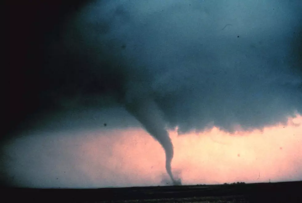
The instability, forcing, and especially the wind speed will offer a decent environment for upstream convection to carry into our region. With the 6km level exceeding 50 knots, storm mode may include supercells with large hail and damaging wind gusts. Perhaps even an isolated tornado cannot totally be ruled out especially towards southern Finger Lakes/western Twin Tiers, but primary threat will be for damaging wind gusts, with speed shear dominant and directional shear limited..
There will be a batch of convection roughly 4-9PM for Central NY to near PA border, but a second attempt may be made 9PM-midnight.

Extended Outlook:
Tonight: Showers and thunderstorms likely before 9PM, then showers likely and possibly a thunderstorm between 9PM and 1AM, then a chance of showers after 1AM Mostly cloudy, with a low around 54. Calm wind. The chance of precipitation is 60%—new rainfall amounts between a tenth and quarter of an inch, except higher amounts possible in thunderstorms.
Thursday: Showers likely, mainly after 3PM. Cloudy, with a high near 64. West wind 3 to 5 mph. The chance of precipitation is 60%—new precipitation amounts between a tenth and quarter of an inch possible.
Thursday Night: Showers. Low around 46. Calm wind becoming west 5 to 9 mph after midnight. The chance of precipitation is 90%—new precipitation amounts between a quarter and half of an inch possible.
Friday: Showers likely, mainly before 9AM. Mostly cloudy, with a high near 55. West wind 11 to 18 mph. The chance of precipitation is 70%.
Friday Night: A chance of rain showers before midnight, then a chance of rain and snow showers between midnight and 2AM, then a chance of rain showers after 2AM. Mostly cloudy, with a low around 37. The chance of precipitation is 50%.
Saturday: Mostly sunny, with a high near 55.
KEEP READING: What to do after a tornado strikes
More From 96.1 The Eagle