Did You Hear Deafening Thunder and Tornado Alerts in Central New York
It was a loud start to the morning in Central New York. Did you hear the deafening thunder and tornado warnings overnight as strong storms rolled through Onondaga, Madison and Oneida counties?
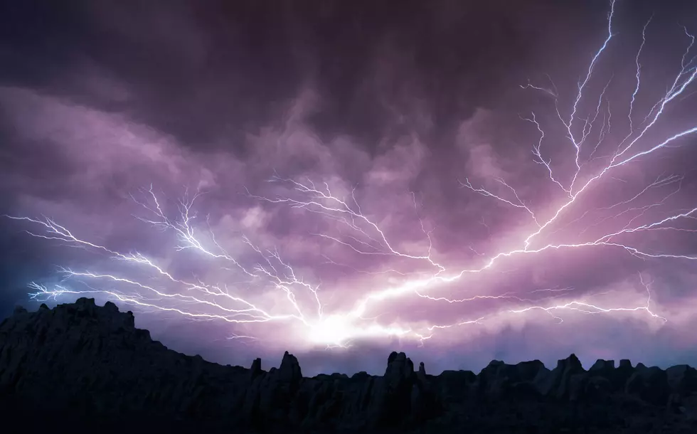
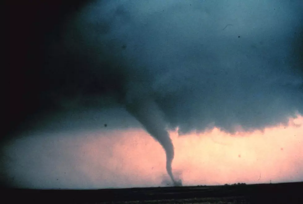
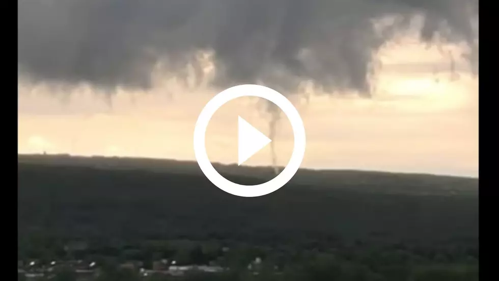
The National Weather Service sent tornado alerts to Syracuse residents early this morning as one cell started to merge with a larger one. "This showed up on radar velocity: rotation tightened to ~80 mph," the weather service out of Binghamton shared.
No word if the rotation ended up touching down.
Michael Broughton was awake to see 'crazy lightning' in Cortland County. "Seemed like 5-10 minutes of constant flashing," said Broughton. "I thought for a second a transformer or something blew up."
The thunder around 2:30AM was unlike any I've ever heard. It was so loud it shook the windows. I thought a transformer blew too. Either that or it hit our house.
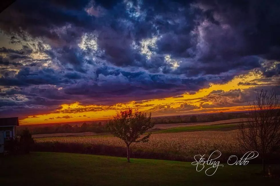
Mother Nature isn't done yet. Another storm is on the way in Central New York. Scattered showers and thunderstorms are expected today, mainly this afternoon through early evening. "A few of the strongest storms could contain damaging wind gusts and perhaps hail," according to the National Weather Service. "Locally heavy rainfall may also occur, with isolated flash flooding possible, especially for locations that already received heavy rain from recent storms."
Today: A chance of showers and thunderstorms, mainly after 2pm. Some of the storms could produce gusty winds and heavy rain. Mostly cloudy, with a high near 76. New rainfall amounts between a tenth and quarter of an inch, except higher amounts possible in thunderstorms.
Tonight: A chance of showers and thunderstorms before midnight, then a slight chance of showers. Mostly cloudy, with a low around 56. New precipitation amounts of less than a tenth of an inch, except higher amounts possible in thunderstorms.
Tuesday: A chance of showers, with thunderstorms also possible after noon. Mostly cloudy, with a high near 74. New rainfall amounts of less than a tenth of an inch, except higher amounts possible in thunderstorms.
Sunshine returns mid-week and will hang around all week. Get the 10-day forecast at Noaa.gov.
LOOK: The most expensive weather and climate disasters in recent decades
Gallery Credit: KATELYN LEBOFF
KEEP READING: What to do after a tornado strikes
TIPS: Here's how you can prepare for power outages
More From 96.1 The Eagle
![16 Ways to Help Calm Your Dog During Fireworks [GALLERY]](http://townsquare.media/site/498/files/2021/06/attachment-alicia-jones-13Nt3KvEQ3w-unsplash.jpg?w=980&q=75)