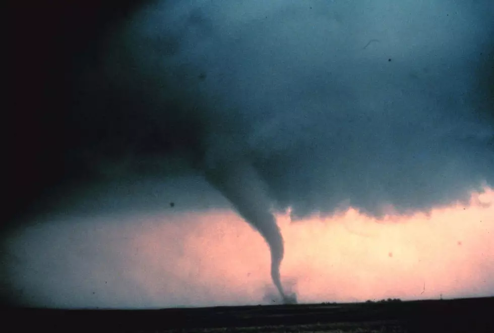
Damaging 50 MPH Winds With Severe T-Storms In Utica/Rome
The National Weather Service out of Binghamton has issued a high-wind watch after a beautiful record-breaking day across Central New York.
Expect stormy conditions with strong gusty winds and a few isolated and severe thunderstorms, especially northeast of NYS Thruway.
The National Weather Service has issued a Wind Advisory out of Binghamton, NY:
Northern Oneida-Chemung-Tompkins-Southern Oneida-Cortland-Chenango-Tioga-Broome-Sullivan-Bradford-Susquehanna-Northern Wayne-Wyoming-Lackawanna-Luzerne-Pike-Southern Wayne-Including the cities of Boonville, Elmira, Ithaca, Rome, Utica, Cortland, Norwich, Owego, Waverly, Binghamton, Monticello, Sayre, Towanda, Hallstead, Montrose, Damascus, Equinunk, Tunkhannock, Scranton, Hazleton, Wilkes-Barre, Milford, and Honesdale.
...WIND ADVISORY IN EFFECT FROM 11 AM TO 8 PM EDT FRIDAY...
* WHAT...Southwest winds 15 to 25 mph with gusts of 40 to 50 mph expected.
* WHERE...In Pennsylvania, Bradford, Susquehanna, Northern Wayne, Wyoming, Lackawanna, Luzerne, Pike and Southern Wayne counties. In New York, Northern Oneida, Chemung, Tompkins, Southern Oneida, Cortland, Chenango, Tioga, Broome and Sullivan counties.
* WHEN...From 11 AM to 8 PM EDT Friday.
* IMPACTS...Gusty winds could blow around unsecured objects. Tree limbs could be blown down and a few power outages may result.
...WIND ADVISORY IN EFFECT FROM 11 AM THIS MORNING TO 8 PM EDT THIS
EVENING...Northern Oneida-Onondaga-Madison-Southern Oneida-Chenango-Otsego-Delaware Counties:
Also, isolated strong to possibly severe thunderstorms will be possible Friday mid-morning into the afternoon. These storms will have the potential to produce gusty to possibly damaging winds.
PRECAUTIONARY/PREPAREDNESS ACTIONS...
Use extra caution when driving, especially if operating a high-profile vehicle—secure outdoor objects.
NWS says, "A cold front will move through the area during the mid-morning to early afternoon bringing additional scattered showers and possibly a few isolated thunderstorms...A few of these storms may become strong to possibly severe for portions of Central NY (mainly along and north of the NY Thruway)... Occasional wind gusts of 40-50 mph will be possible from the late morning through the afternoon. A few gusts up to 55 mph will be possible across the...With temperatures dropping into the 30s, some wet snow may mix in north of the NY Thruway. Any lingering showers end around midnight, leading to a dry rest of the night."
NWS Central New York Forecast:
Friday: Showers likely before 10am, then showers likely and possibly a thunderstorm between 10am and 2pm, then a chance of showers after 2pm. Cloudy, with a high near 67. Breezy, with a southeast wind 9 to 14 mph becoming southwest 17 to 22 mph in the afternoon. Winds could gust as high as 43 mph. Chance of precipitation is 70%—new rainfall amounts between a tenth and quarter of an inch, except higher amounts possible in thunderstorms.
Friday Night: A chance of showers, mainly before 1am. Cloudy, with a low around 35. Breezy, with a west wind 13 to 20 mph, with gusts as high as 33 mph. Chance of precipitation is 40%. New precipitation amounts of less than a tenth of an inch possible.
Saturday: Partly sunny, with a high near 53. West wind 7 to 9 mph.
Saturday Night: Partly cloudy, with a low around 42. Southeast wind 3 to 6 mph.
Sunday: Showers, mainly after 8am. High near 59. Chance of precipitation is 90%.
TIPS: Here's how you can prepare for power outages
More From 96.1 The Eagle