It’s Been Raining Cats and Dogs for 2 Weeks. When Will It Stop?
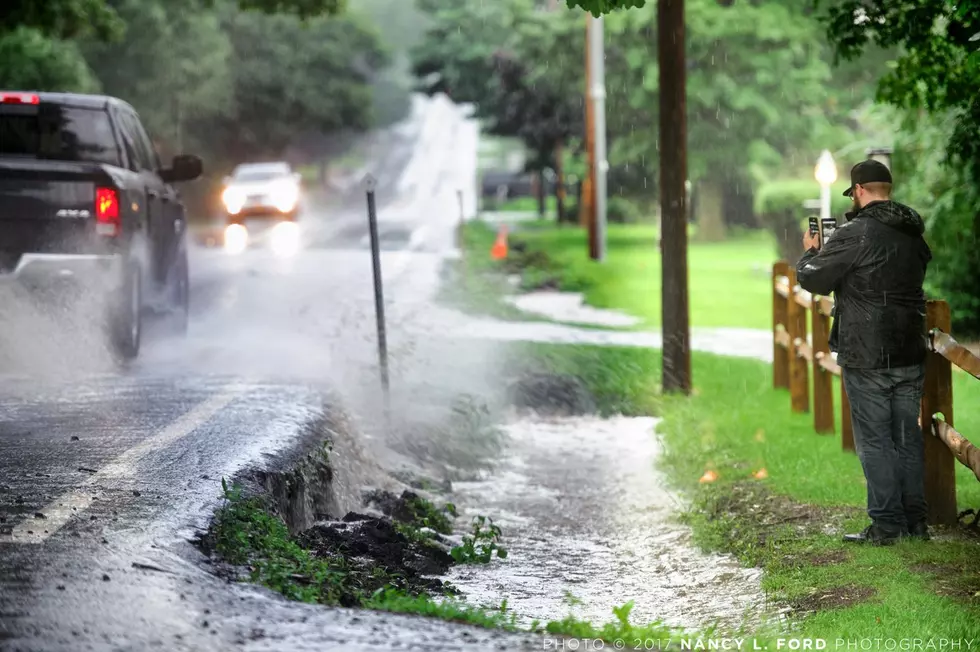
The Utica-Rome Mohawk Valley region has seen an abnormal amount of rainfall over the last 2-weeks. According to the National Weather Service, in the last 14-days, parts of the Mohawk Valley have gotten upwards of 10 inches of rain. Putting that into perspective, on average an inch of rain equals just a little more than a foot of snow. Think about those snow totals for a moment. By the way, the average rainfall for the Mohawk Valley is .29 inches for the month of July.
The constant rain and occasional downpours have wreaked havoc on flood prone areas like Whitesboro, which has faced evacuations and flooded homes and businesses over the last 2 weeks.
So, what's causing this abnormally wet weather and when will it come to an end? According to meteorologists, this weather pattern of more precipitation and an increase in thunderstorms is all about the jet stream, the heat dome which is causing abnormal high temperatures in the west, and a stationary low pressure over the Atlantic that is pushing moist air into our region. It will take the moist front over the Atlantic to break up, in order to disrupt the current weather pattern we're experiencing right now.

Meanwhile, over the next 10 days, forecasters are predicting rain for 6 of those days.
"There is the likelihood of torrential downpours and flash flooding along the mid-Atlantic and southern New England coasts to the central Appalachians both days of the weekend as the disturbance meets up with an unusually humid air, even for July," AccuWeather Senior Meteorologist Brett Anderson told MSN.
Forecasters say there are signs that there could be relief in sight for the second half of July. However, based on the current forecasting, that will likely mean a few dry days sandwiched in between more rainy periods.
LOOK: The most expensive weather and climate disasters in recent decades
Gallery Credit: KATELYN LEBOFF
TIPS: Here's how you can prepare for power outages
KEEP READING: Get answers to 51 of the most frequently asked weather questions...
KEEP READING: What to do after a tornado strikes
More From 96.1 The Eagle


