Severe Thunderstorms Could Reach CNY Tuesday Afternoon
The National Weather Service out of Binghamton (NWS) says today's risk for severe thunderstorms will be higher in Pennsylvania, but bordering areas of New York could also potentially be involved.
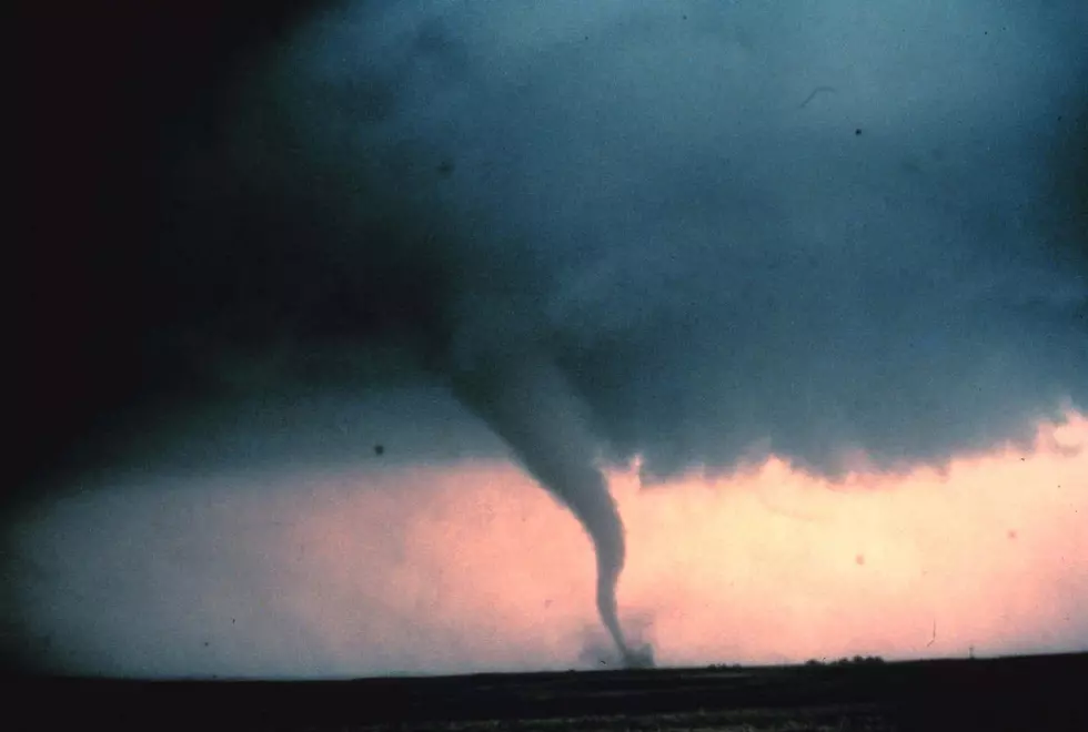
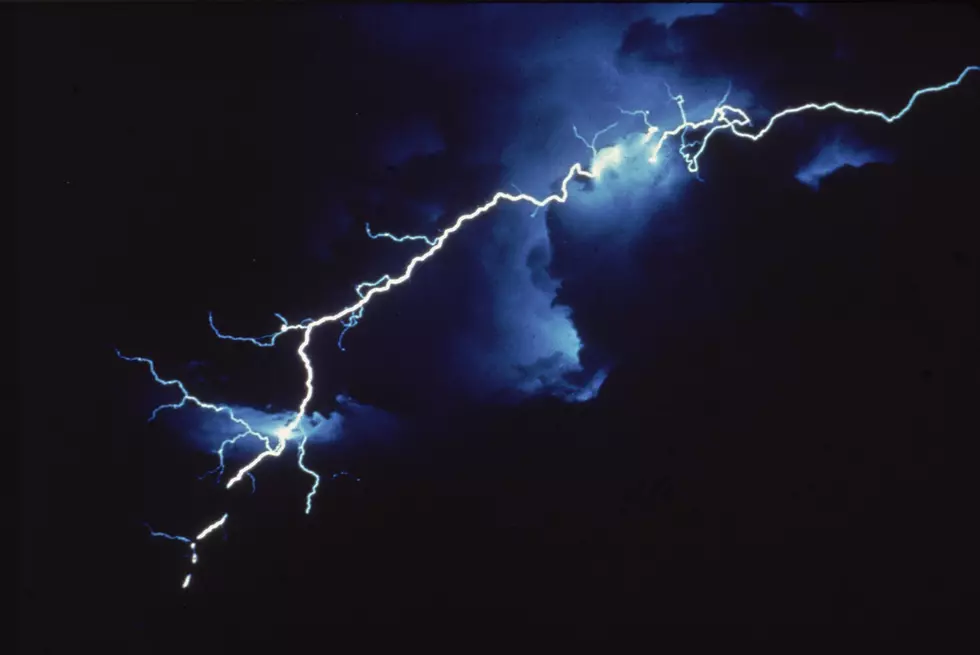
We are NOT expecting a wall of bad thunderstorms to sweep across the area, the map does show where there's potential for strong thunderstorms to become severe with damaging winds, large hail, and heavy rainfall. Isolated tornadoes also cannot be ruled out.
NWS says it is disconcerting to see the models are not in good agreement on exactly where the low tracks.
That is, how far north the frontal boundary and warm sector will get, before the low swings through. This greatly impacts the amount and duration of heating between morning showers and potential afternoon convection...competing factors suggest another conditional event, in which the potential for severe is quite elevated including possible supercells; yet actual development is in question.
We will keep you updated as specifics become clearer, including possible watches and/or warnings.
Extended Forecast:
Today: Showers before 2pm, then showers likely and possibly a thunderstorm between 2pm and 3pm, then a chance of showers and thunderstorms after 3pm. High near 56. East wind 10 to 14 mph. Chance of precipitation is 100%. New rainfall amounts between a half and three-quarters of an inch possible.
Tonight: A chance of showers, mainly before 7pm. Cloudy, with a low around 50. East wind 5 to 7 mph becoming calm in the evening. Chance of precipitation is 30%. New precipitation amounts of less than a tenth of an inch possible.
Wednesday: A slight chance of showers between 2pm and 5pm, then a slight chance of showers and thunderstorms after 5pm. Mostly cloudy, with a high near 69. West wind around 7 mph. Chance of precipitation is 20%.
Wednesday Night: A chance of showers and thunderstorms. Mostly cloudy, with a low around 54. Light southwest wind. Chance of precipitation is 40%. New rainfall amounts of less than a tenth of an inch, except higher amounts possible in thunderstorms.
Thursday: A chance of showers, with thunderstorms also possible after 8am. Mostly cloudy, with a high near 73. West wind 3 to 8 mph. Chance of precipitation is 50%.
Thursday NightShowers likely and possibly a thunderstorm before 2am, then a chance of showers. Mostly cloudy, with a low around 53. Chance of precipitation is 60%.
Friday: A chance of showers before 8am. Mostly sunny, with a high near 67. Chance of precipitation is 30%.
Friday Night: Partly cloudy, with a low around 47.
Saturday: Mostly sunny, with a high near 72.
Get up to information on power outages throughout Central New York; where it’s out and when it’ll be restored with National Grid’s Power Outage Map.
National Grid also offers text alerts on the latest efforts to restore power.
To receive free text message alerts and updates, text the word STORM to NGRID (64743). E-mail alerts are available to customers who create an online profile on the company’s website. All alert services can be started and stopped at the customer’s request.
You can even report power outages or get the latest information at the National Grid’s website.
Power Outage Preparation:
*Keep your cell phone charged and make sure you know where your backup power supply is.
*Make sure all your flashlights have fresh batteries.
*Fill your gas tank. You can use your car to keep warm and recharge devices.
*Have some food available that you don’t need to cook.
* Download The Eagle App. You’ll receive local alerts, weather reports and more with push notification.
More From 96.1 The Eagle