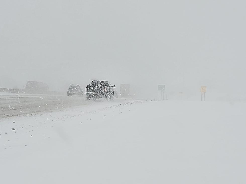
Big Winter Storm Possible This Weekend In CNY (They’re Not Sure…YET)
Potential exists for a massive storm system to track south of the region bringing snow or a wintry mix this weekend.
We missed last weekends snow storm but we might not this weekend. Syracuse.com reports Dave Nicosia, the warning coordinating meteorologist at the National Weather Service (NWS) out of Binghamton as saying a “potentially major winter storm" is shaping up for Saturday and Sunday, and has already alerted the media and emergency managers.
“Many of our longer-range models are pointing toward a snowstorm...Since it is five to six days out, there is considerable uncertainty." [Syracuse.com]
The latest projection from the CPC is calling for heavy snow.
CPC shows this projected look for Friday, Saturday and Sunday 1-18 through 1-20.
NWS says temperatures will be in the 10`s and 20`s as this snow falls Thursday night and Friday with slippery roads possible on Friday morning if this period of snow materializes.
Increasing potential for impactful winter weather this weekend...Operational model and ensemble agreement is very high for a large scale storm system to potentially result in impactful wintry weather this weekend. A stronger area of low pressure is expected to develop in the Southern Plains by Saturday with high pressure building across the northern Plains into the Great Lakes and northeast. Considerable moisture will be pulled northward ahead of the developing low-pressure system which will ride northeast along the baroclinic with the previous cold front. Uncertainty is still present regarding the exact track which depends on where the boundary sets up on Friday and the
strength of the approaching high pressure and the low-pressure system itself. (NWS)
A large amount of moisture will be widespread to our south and west on Saturday, with cold air will blasting into the region ahead of the storm as well. NWS says the timing of the precipitation is getting a little better defined as well with the main window being from Saturday afternoon into a good portion of Sunday. However, a warm layer will be coming northward into portions of the region that will likely see temperatures stay below freezing. As a result, sleet and freezing rain become more of a threat as well.
Extended NWS Forcast:
Winter Weather Preparation:
- Keep your cell phone charged and make sure you know where your backup power supply is.
- Make sure all your flashlights have fresh batteries.
- Fill your gas tank. You can use your car to keep warm and recharge devices.
- Have some food available that you don’t need to cook.
- Download the Eagle App You’ll receive local alerts, weather reports and more with push notifications.
More From 96.1 The Eagle