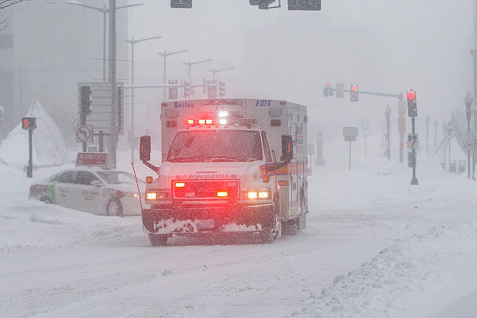
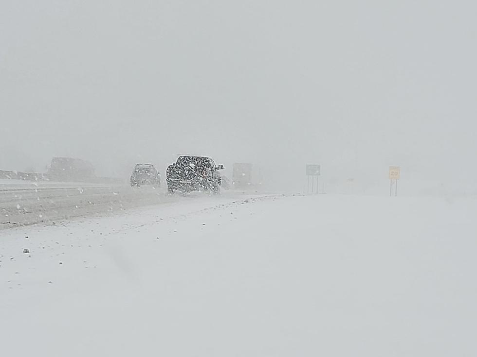
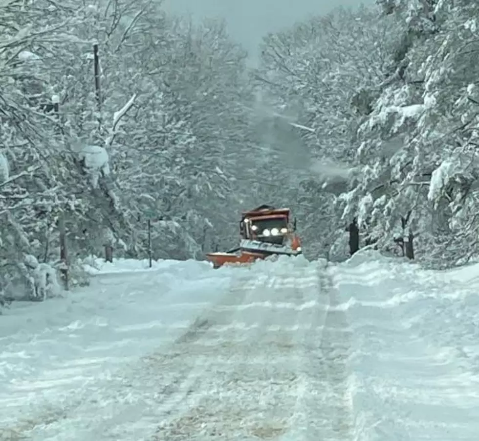
A significant winter storm will have central New Yorkers digging out Tuesday. Some may even be left without power. And another storm is on the way late in the week.
There's another winter storm crossing through the Ohio Valley and making its way to the east coast once again this weekend, just in time for Valentine's Day. New York City will only see about an inch or so and the further one goes south, it turns to freezing rain and mixed precipitation.
Low pressure moves into CNY early Tuesday morning, bringing a chance for accumulating snow and a wintry mix through Tuesday night. Measurable snowfall is expected with accumulations of 4-6".
40 inches! That's how much snow fell in Binghamton. It's hard to even fathom that much snow. One resident created an incredible time lapse video to show what more than 3 feet of snow looks like.
The Southern Tier has the honor of getting the most snow from Winter Storm Gail and Binghamton set a record for the biggest 2 day snow storm in history.
A strong nor`easter produced heavy, rapidly accumulating snow across Utica, Rome, all of New York State, and northeast PA, and the National Weather Service is asking you to report your snow totals.
There's tractor trailer bans and speed restrictions on the New York State Thruway after Winter Storm Gail dumped anywhere from one to 3 feet of snow across the state.