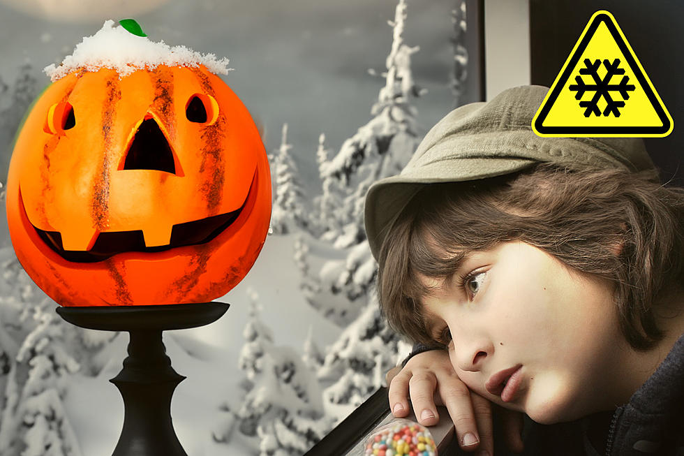
Winter Weather Advisory Adds Another 3 to 5 Inches Of Snow In CNY
The Winter Storm Warning has been canceled and we're now under a Winter Weather Advisory until 7 pm tonight according to the National Weather Service (NWS) out of Binghamton.
The Winter Storm Warning has changed to a Winter Weather Advisory, but what's the difference? Well, NWS explains it like this:
A Winter Storm Warning is issued when a winter storm is producing or is forecast to produce heavy snow or significant ice accumulations.
A Winter Weather Advisory is issued when a low-pressure system produces a combination of winter weather (snow, freezing rain, sleet, etc.) that present a hazard, but does not meet warning criteria.
...Winter Weather Advisory is in effect for Onondaga, Madison, Southern Oneida,
Chenango, Otsego, and Delaware Counties including the cities of Auburn, Syracuse, Hamilton, Oneida, Rome, Utica, Cortland, Norwich, Oneonta, Delhi, and Walton until 7 pm tonight. The Winter Storm Warning has been canceled.
* WHAT...Snow and blowing snow. Additional snow accumulations of 3 to 5 inches, especially at higher elevations. Winds gusting as high as 35 mph.
* WHERE...Southern Cayuga, Onondaga, Madison, Southern Oneida, Cortland, Chenango, Otsego, and Delaware Counties.
* WHEN...Until 7 PM EST this evening.
* ADDITIONAL DETAILS...Plan on slippery road conditions especially over the higher terrain. Areas of blowing snow could significantly reduce visibility at times. The hazardous conditions could impact the commute this morning.
PRECAUTIONARY/PREPAREDNESS ACTIONS...
A Winter Weather Advisory for snow means periods of snow will cause primarily travel difficulties. Expect snow covered roads and limited visibilities, and use caution while driving. The latest road conditions for the state you are calling from can be obtained by calling 5 1 1.
Extended Forcast:
Today: Snow showers likely. The snow could be heavy at times. Areas of blowing snow. Cloudy, with a high near 35. West wind around 15 mph, with gusts as high as 25 mph. Chance of precipitation is 70%. Total daytime snow accumulation of around an inch possible.
Tonight: A chance of snow showers. Cloudy, with a low around 29. West wind around 14 mph. Chance of precipitation is 50%. New snow accumulation of less than a half inch possible.
Thursday: A chance of snow showers, mainly between 9am and noon. Mostly cloudy, with a high near 35. Northwest wind 11 to 13 mph. Chance of precipitation is 30%. New snow accumulation of less than a half inch possible.
Thursday Night: Mostly cloudy, with a low around 27. West wind 5 to 9 mph.
Friday: A slight chance of rain and snow after 1pm. Mostly cloudy, with a high near 36. Light and variable wind. Chance of precipitation is 20%.
Friday Night: A slight chance of snow and freezing rain. Mostly cloudy, with a low around 29. Chance of precipitation is 20%.
Saturday: A chance of rain after 1pm. Mostly cloudy, with a high near 39. Chance of precipitation is 40%.
Winter Weather Preparation:
- Keep your cell phone charged and make sure you know where your backup power supply is.
- Make sure all your flashlights have fresh batteries.
- Fill your gas tank. You can use your car to keep warm and recharge devices.
- Have some food available that you don’t need to cook.
- Download the 961theeagle.com App. You’ll receive local alerts, weather reports and more with push notifications.
More From 96.1 The Eagle