Warm Weather to Continue for a Couple More Days Across Upstate & CNY
Upstate & Central New York will continue to bask in record breaking, summerlike temperatures for the next few days, then the bottom drops out.
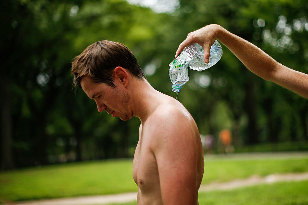
High pressure will remain in control of our weather early this week, keeping us warm and humid. Tuesday and Wednesday will be hot. High temperatures in the 80's to near 90 and dewpoints in the 60's.
We start feeling a little more like fall in Central New York on Thursday. A cold front is expect to pass through, bringing with it some light showers and cooler temperatures. National Weather Service predicts we'll be some 20 degrees cooler. High's in the upper 60's with lows in the lower 40's. We'll continue to be in the 60's to near 70 for the next several days.
On Sunday (9/24), Albany, Buffalo and Rochester all had record breaking temperatures.
Albany reached 90°, their record high was 87° in 1961.
Buffalo also reached 90°, breaking their 2010 record of 88°
Rochester broke their 1970 record by one degree, hitting 91°.
If it's warm and sunny weather you like, get out and enjoy, it's coming to and end in a big way.
BONUS VIDEO
More From 96.1 The Eagle