Tropical Storm Barry Could Bring ‘Torrential Downpours’ To CNY
Humidity levels will increase as Tropical Storm Barry makes his way into CNY.
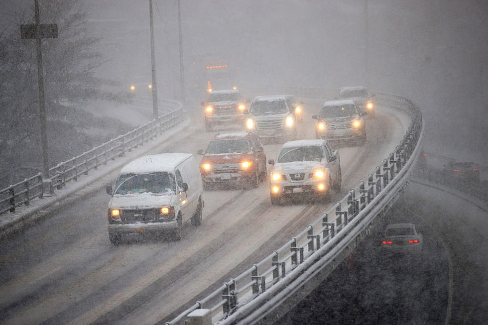
Moisture associated with tropical remnants caught in the upper atmospheric flow will drift across NY and PA on Wednesday and Wednesday night. We could see 2 inches or more of rain with dew points in the lower or middle-70s.
With this amount of moisture, we will need to monitor thunderstorms for heavy downpours. The one saving grace in this event is the lack of low-level forcing or a defined surface feature, as the tropical remnants appear to slide through our region as an open wave. [NWS]
The wave is forecast to cross our counties Thursday with additional shower and thunderstorm activity.
This Hazardous Weather Outlook is for central New York and
northeast Pennsylvania.
Thunderstorms during the middle of the week will be capable of producing torrential downpours and locally heavy rainfall. The threat for at isolated flooding looks greatest Wednesday afternoon and night when tropical moisture from the remnants of Barry pass through the area. [NWS]
The heat and humidity will build through the end of the week. Friday
is forecast to be the hottest day of the period with maximum heat
indices near 100 degrees.
Extended Forcast:
Today: Sunny, with a high near 80. West wind 5 to 8 mph.
Tonight: Partly cloudy, with a low around 59. West wind around 5 mph becoming calm in the evening.
Tuesday: A slight chance of showers after 2pm. Partly sunny, with a high near 87. Southeast wind 5 to 7 mph becoming west in the afternoon. Chance of precipitation is 20%.
Tuesday Night: A chance of showers and thunderstorms. Mostly cloudy, with a low around 69. Southwest wind 3 to 7 mph. Chance of precipitation is 40%. New rainfall amounts of less than a tenth of an inch, except higher amounts possible in thunderstorms.
Wednesday: Showers likely and possibly a thunderstorm. Some of the storms could produce heavy rain. Mostly cloudy, with a high near 84. West wind 3 to 6 mph. Chance of precipitation is 60%.
Wednesday Night: Showers likely and possibly a thunderstorm. Some of the storms could produce heavy rain. Mostly cloudy, with a low around 69. Chance of precipitation is 60%.
Thursday: Showers likely and possibly a thunderstorm. Mostly cloudy, with a high near 87. Chance of precipitation is 60%.
Thursday Night: A chance of showers and thunderstorms. Mostly cloudy, with a low around 70. Chance of precipitation is 40%.
Friday: A chance of showers and thunderstorms. Partly sunny, with a high near 91. Chance of precipitation is 40%.
Friday Night: A chance of showers and thunderstorms. Mostly cloudy, with a low around 70. Chance of precipitation is 40%.
Saturday: Mostly sunny, with a high near 89.
Saturday Night: Partly cloudy, with a low around 65.
Sunday: Mostly sunny, with a high near 86.
Get up to information on power outages throughout Central New York; where it’s out and when it’ll be restored with National Grid’s Power Outage Map.
National Grid also offers text alerts on the latest efforts to restore power.
To receive free text message alerts and updates, text the word STORM to NGRID (64743). E-mail alerts are available to customers who create an online profile on the company’s website. All alert services can be started and stopped at the customer’s request.
You can even report power outages or get the latest information at the National Grid’s website.
Power Outage Preparation:
*Keep your cell phone charged and make sure you know where your backup power supply is.
*Make sure all your flashlights have fresh batteries.
*Fill your gas tank. You can use your car to keep warm and recharge devices.
*Have some food available that you don’t need to cook.
* Download The Eagle App. You’ll receive local alerts, weather reports and more with push notification.
More From 96.1 The Eagle