Soaking Rain WIth Gusty Winds Over 40 MPH In CNY
A Hazardous Weather Outlook has been issued by The National Weather Service (NWS) out of Binghamton that includes a soaking rain, and it could disrupt holiday travel.
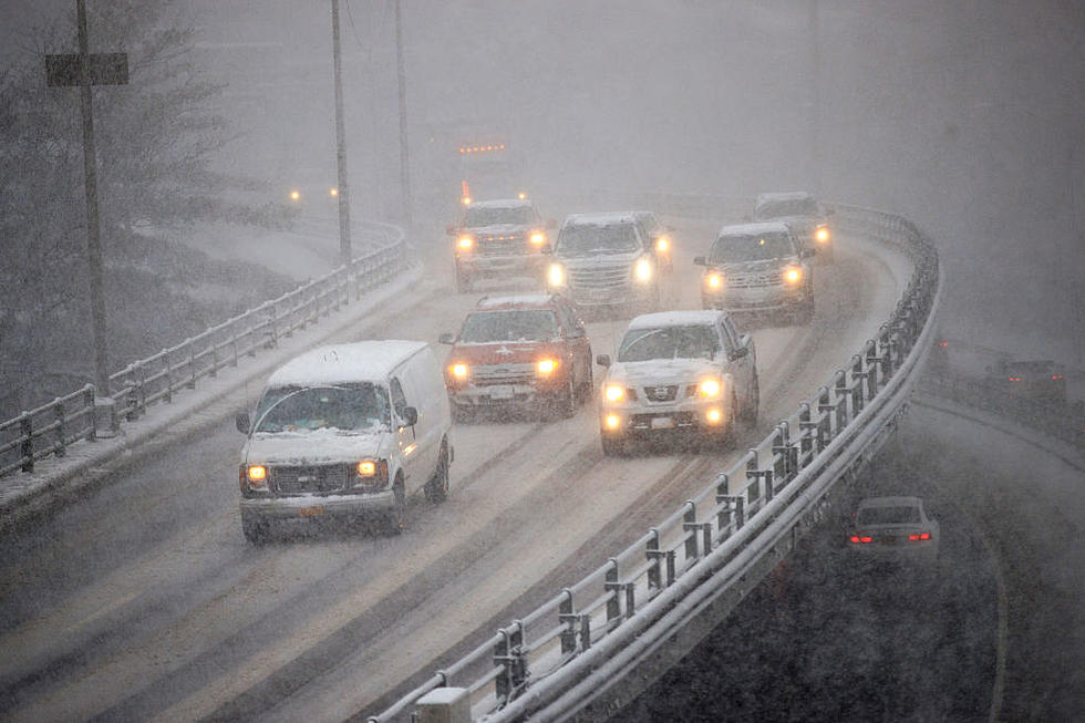
Soaking rain will overspread the region Thursday night through Friday. Streams and rivers will be recharged from this rain, but the chance of any flooding is currently low. Some minor poor drainage issues and standing water in low lying areas is possible.
A storm will bring rain to the area Thursday night through Friday. Cooler weather is expected Saturday and Sunday with scattered
snow showers.
The National Weather Service says:
...(expect) widespread rain Thursday night through a good portion of Friday. Southeast winds will increase overnight and into Friday, between 10-25 mph, with gusts 25-40 Mph...outlook indicates the chance for t`storms across much of the forecast area beginning early Friday morning and into the day. Temperatures surge well above
average, reaching the mid-50s to perhaps even lower 60s in some of our valleys Friday afternoon...This should melt all of the remaining snowpack around the region...
We will have to watch for a heavy rain threat as we get closer to the event with modeled QPF from 1.25 to 2.25 inches of rain, highest the further east you go. This amount of rainfall could easily lead to poor drainage and low land ponding of water. Streams and creeks will see significant rises, likely near bankfull in some areas. We will need to watch the river forecasts closely, as rises are expected to continue Friday night and even into Saturday on the main stem rivers. Cannot rule out some river/stream points reaching minor flood stage... Flood watches may eventually be necessary with possible hydro issues
Extended Forcast:
Today: Mostly sunny, with a high near 39. Calm wind becoming south around 5 mph in the afternoon.
Tonight: Partly cloudy, with a low around 22. Light southeast wind.
Thursday: Partly sunny, with a high near 44. Southeast wind around 6 mph.
Thursday Night: Rain. The rain could be heavy at times. Low around 36. East wind 7 to 15 mph. Chance of precipitation is 90%. New precipitation amounts between a half and three quarters of an inch possible.
Friday: Rain before 1pm, then showers likely after 1pm. High near 53. Breezy, with an east wind 10 to 20 mph, with gusts as high as 31 mph. Chance of precipitation is 80%.
Friday Night: Rain showers likely before 1am, then rain and snow showers likely. Cloudy, with a low around 35. Chance of precipitation is 70%.
Saturday: Rain and snow showers likely, becoming all snow after 1pm. Cloudy, with a high near 36. Chance of precipitation is 70%.
Saturday Night: A chance of snow showers. Mostly cloudy, with a low around 26. Chance of precipitation is 40%.
Sunday: A chance of snow showers. Mostly cloudy, with a high near 31. Chance of precipitation is 30%.
Sunday Night: A chance of light snow. Mostly cloudy, with a low around 25. Chance of precipitation is 40%.
Monday: A chance of snow showers. Mostly cloudy, with a high near 32. Chance of precipitation is 40%.
Monday Night: A chance of snow showers. Mostly cloudy, with a low around 22. Chance of precipitation is 40%.
Christmas Day: A chance of snow showers. Mostly cloudy, with a high near 31. Chance of precipitation is 30%.
(NWS)
More From 96.1 The Eagle