Snow And Gusty Winds In The CNY Forecast
The National Weather Service (NWS) out of Binghamton is forecasting snow on Friday in CNY.
Old Man Winter is hanging on this year, and some are happy about it. Are you?
NWS says it will be dry today through Thursday, with temperatures fairly close to normal for early April. The next couple of days will be a bit breezy, especially Wednesday causing concerns for 'fire weather' (see more below) as gusty winds could reach 40 MPH in the afternoon.
Friday/Friday night a low pressure will move through the mid-Atlantic region leading to a wet day, but rainfall totals are not significant enough for any hydro concerns. Initially, through mid-morning, the precipitation could be a snow/rain mix before changing to all rain. The system departs Friday night with much of the rain over by midnight. [NWS]
Temperatures Saturday through Monday will be on the mild side with readings running around 10 degrees above normal.
Extended CNY Forecast:
Today: Mostly sunny, with a high near 50. South wind 6 to 10 mph.
Tonight: Mostly cloudy, with a low around 30. Southeast wind around 7 mph.
Wednesday: A slight chance of showers between noon and 2pm. Mostly sunny, with a high near 47. Breezy, with a light and variable wind becoming west 20 to 25 mph in the morning. Winds could gust as high as 43 mph. Chance of precipitation is 20%.
Wednesday Night: Partly cloudy, with a low around 28. West wind 8 to 15 mph.
Thursday: Mostly sunny, with a high near 43. West wind 9 to 14 mph.
Thursday Night: Partly cloudy, with a low around 27.
Friday: Snow likely before 11am, then rain likely. Mostly cloudy, with a high near 48. Chance of precipitation is 60%.
Friday Night: Showers likely. Cloudy, with a low around 37. Chance of precipitation is 60%.
Saturday: Mostly cloudy, with a high near 54.
Saturday Night: Mostly cloudy, with a low around 40.
Sunday: Partly sunny, with a high near 61.
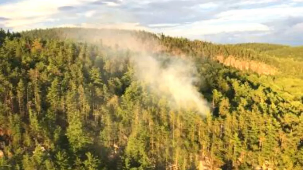
FIRE WEATHER...
Fire weather concerns have increased, especially for Wednesday when near critical fire weather conditions may occur. Finer fuels such as dead grass, leaf litter, and brush will need to be closely monitored the next couple of days as they respond to the weather. For today, minimum relative humidity will reach 25-30 percent while southerly winds become 10-15 mph with higher gusts. Clouds will pass over the region later today through tonight. However, a dry frontal passage Wednesday will significantly increase winds out of the west in the afternoon, while humidity gets again down to 25-30 percent from the Twin Tiers-Catskills southward. Fire weather conditions could be around
critical values for these areas. Even further north, where humidity will not be quite as low, it will still be dry with stronger winds than further south. Make sure to heed any local or state burn regulations or bans that are in effect. [NWS]
More From 96.1 The Eagle