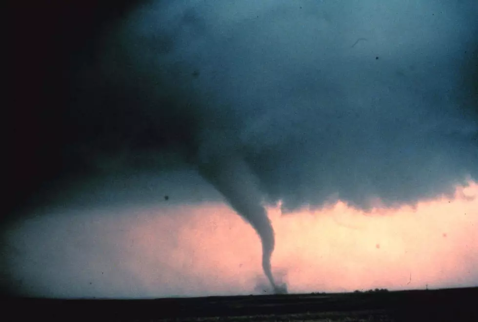
Severe Thunderstorm Watch for Central New York with Hail & a Few Tornadoes Possible
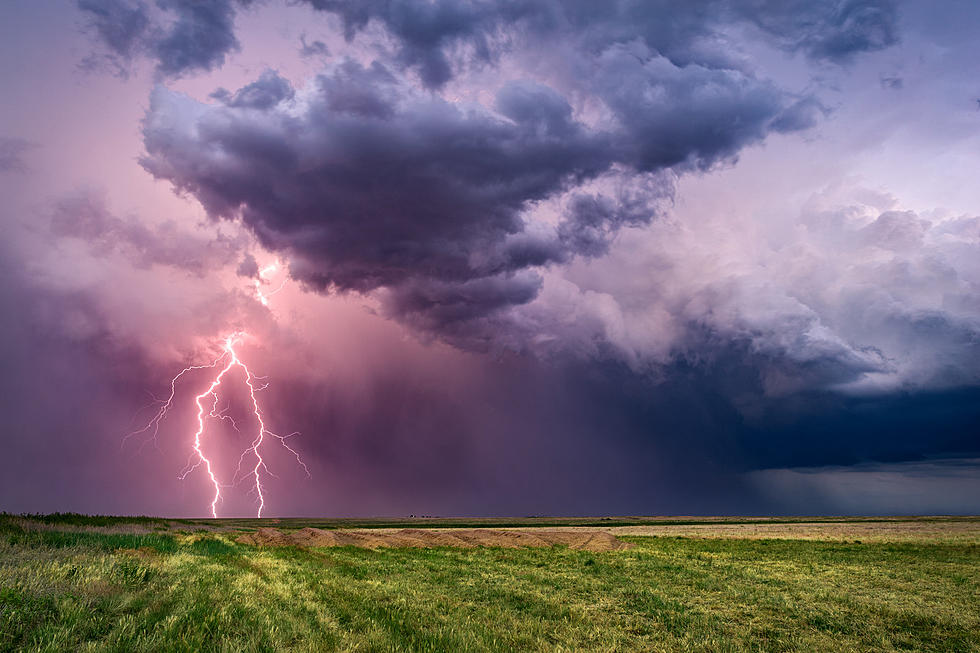
The sunshine was short lived in central New York. A Severe Thunderstorm Watch is in effect with heavy downpours, possible flash flooding, hail and even a few tornadoes.
Thunderstorms are expected this afternoon and tonight in Oneida, Onondaga, and Madison counties. A few of these storms may become severe with damaging winds that could bring 60-70 mph gusts, , according to the The National Weather Service.
With all the rain we've seen already in central New York, heavy downpours may cause flooding for small streams, urban/poor drainage areas, and roadways. Isolated flash flooding is also possible.
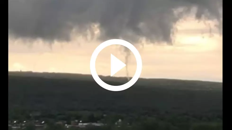
Hail and even a few tornadoes are possible.
Another round of thunderstorms could arrive Monday, mainly along and east of the I-81 corridor, with more strong winds.
Keep Up-To-Date
Get up to information on power outages throughout Central New York; where it’s out and when it’ll be restored with National Grid’s Power Outage Map.
National Grid also offers text alerts on the latest efforts to restore power.
To receive free text message alerts and updates, text the word STORM to NGRID (64743). E-mail alerts are available to customers who create an online profile on the company’s website. All alert services can be started and stopped at the customer’s request.
You can even report power outages or get the latest information at National Grid’s website.
Power Outage Preparation:
*Keep your cell phone charged and make sure you know where your backup power supply is.
*Make sure all your flashlights have fresh batteries.
*Fill your gas tank. You can use your car to keep warm and recharge devices.
*Have some food available that you don’t need to cook.
* Download the BIG FROG 104 App. You’ll receive local alerts, weather reports and more with push notification.
More From 96.1 The Eagle
![16 Ways to Help Calm Your Dog During Fireworks [GALLERY]](http://townsquare.media/site/498/files/2021/06/attachment-alicia-jones-13Nt3KvEQ3w-unsplash.jpg?w=980&q=75)