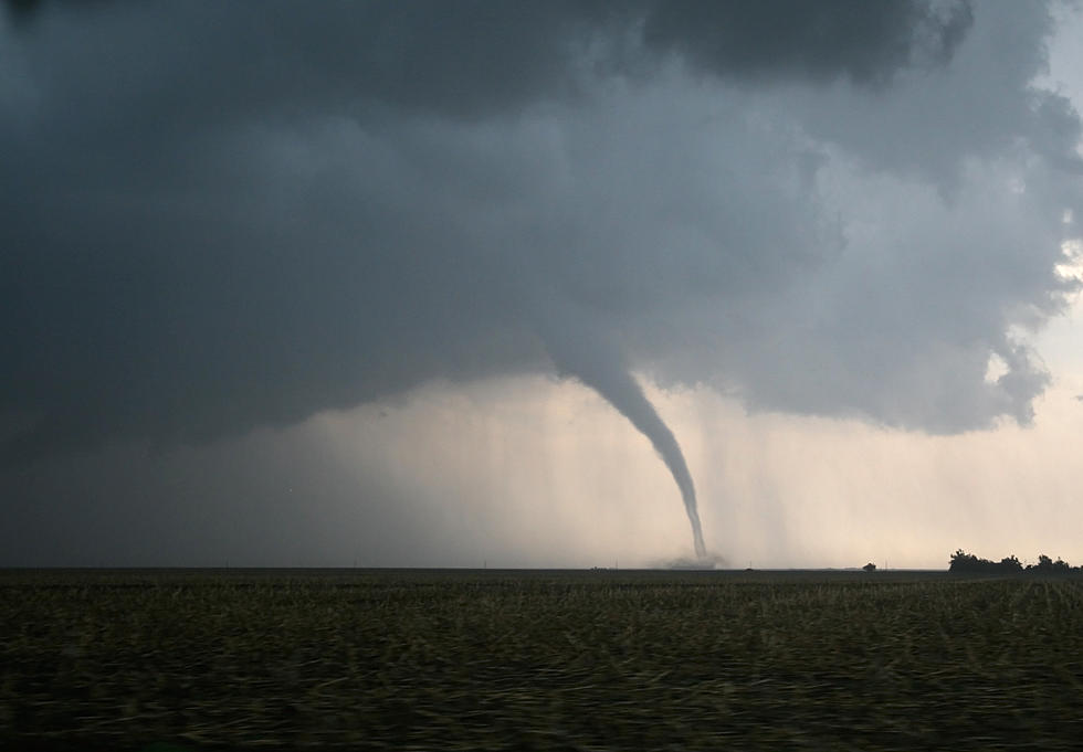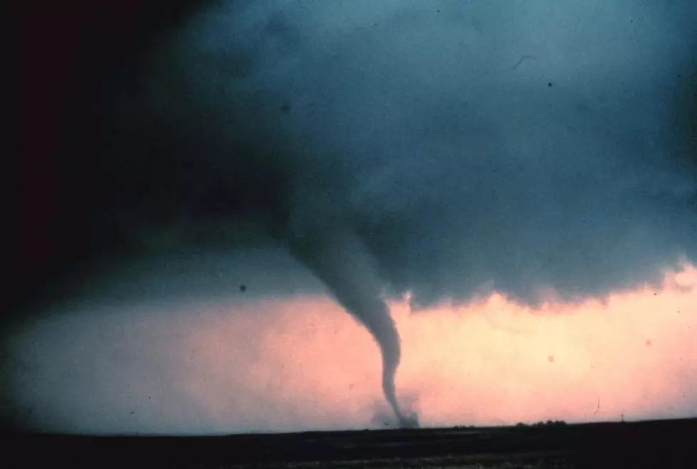
‘A Tornado Cannot Be Ruled Out’ In CNY Says NWS
The National Weather Service (NWS) out of Binghamton has issued a Hazardous Weather Outlook in CNY.
This Hazardous Weather Outlook is for central New York and Northeast Pennsylvania including Northern Oneida, Madison, Southern Oneida, Cortland, Chenango, Otsego,
Tioga, Broome, Delaware Counties.
...SEVERE THUNDERSTORMS POSSIBLE TODAY...
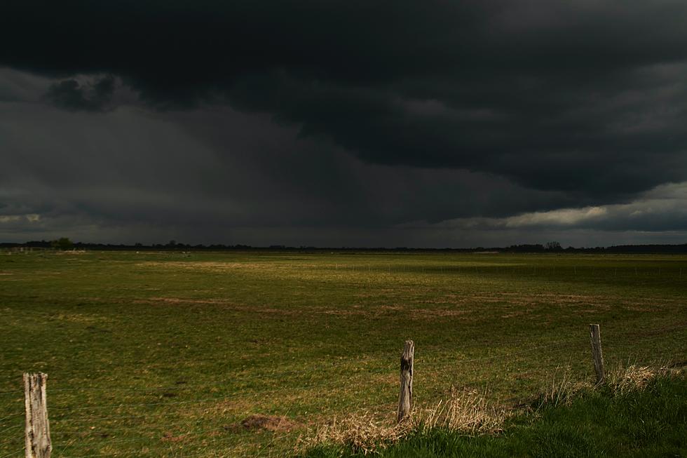
Scattered thunderstorms will develop this afternoon as a wave of low pressure sweeps through the area. A few storms may become severe with damaging winds, primarily east of Interstate 81. Though the primary threat is for damaging winds; isolated large hail, flash flooding, and a tornado cannot be ruled out.
According to the NWS, a warm, humid atmosphere will result in scattered showers and
thunderstorms that may contain locally heavy rainfall and gusty winds.
The Storm Prediction Center has upgraded parts of our area, generally along to especially east of Interstate 81, into a Slight Risk for severe thunderstorms today... allowing for some near-surface turning in direction from cyclonic flow ahead of the low. Thus while pockets of damaging winds are the main concern, if enough instability can be realized then strongest storm cores could yield some hail, and even an isolated tornado cannot be ruled out. [NWS]
A Marginal Risk indicates that isolated severe thunderstorms are possible. Meanwhile, a Slight Risk indicates that scattered severe thunderstorms are possible.
NWS Forcast
Showers and thunderstorms likely, then showers and possibly a thunderstorm after 4pm. Some of the storms could produce gusty winds and heavy rain. High near 80. Calm wind becoming south 5 to 7 mph in the afternoon. Chance of precipitation is 80%. New rainfall amounts between a quarter and half of an inch possible.
Tonight: Showers and thunderstorms likely before midnight, then a slight chance of showers between midnight and 2am. Mostly cloudy, with a low around 64. West wind around 6 mph becoming calm in the evening. Chance of precipitation is 60%. New precipitation amounts between a tenth and quarter of an inch, except higher amounts possible in thunderstorms.
Thursday: A slight chance of showers, then a chance of showers and thunderstorms afternoon. Partly sunny, with a high near 82. Southwest wind 3 to 8 mph. Chance of precipitation is 40%. New rainfall amounts of less than a tenth of an inch, except higher amounts possible in thunderstorms.
Thursday Night: A chance of showers and thunderstorms before 2am. Mostly cloudy, with a low around 61. West wind around 7 mph. Chance of precipitation is 50%. New rainfall amounts between a tenth and quarter of an inch, except higher amounts possible in thunderstorms.
Get up to information on power outages throughout Central New York; where it’s out and when it’ll be restored with National Grid’s Power Outage Map.
National Grid also offers text alerts on the latest efforts to restore power.
To receive free text message alerts and updates, text the word STORM to NGRID (64743). E-mail alerts are available to customers who create an online profile on the company’s website. All alert services can be started and stopped at the customer’s request.
You can even report power outages or get the latest information at the National Grid’s website.
Power Outage Preparation:
*Keep your cell phone charged and make sure you know where your backup power supply is.
*Make sure all your flashlights have fresh batteries.
*Fill your gas tank. You can use your car to keep warm and recharge devices.
*Have some food available that you don’t need to cook.
* Download The Eagle App. You’ll receive local alerts, weather reports and more with push notification.
More From 96.1 The Eagle