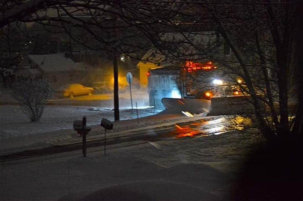
7 Inches Of New Snow And Slippery Roadways With Clipper System In CNY
As February comes to a close, the NWS is closely watching 3 weather events that include a clipper system today, a wintry mix Saturday into Saturday and lake-effect snow returns Sunday into early next week.

...WINTER WEATHER ADVISORY REMAINS IN EFFECT FROM 7 AM THIS
MORNING TO 3 AM EST THURSDAY...

* WHAT...Snow expected. Total snow accumulations of 4 to 8
inches expected.
* WHERE...Oneida, Yates, Seneca, Southern Cayuga, Onondaga,
Steuben, Schuyler, Tompkins, Madison, Cortland, Chenango and
Otsego counties.
* WHEN...Light snow will overspread the area from the southwest to
northeast this morning. A band of heavier snow with snowfall
rates over 1 inch per hour may develop across the Finger Lakes
into Steuben County during the evening commute. This band would
then shift eastward into the western Mohawk Valley and
Susquehanna region later in the evening. The snow tapers off
from west to east tonight.

* ADDITIONAL DETAILS...Plan on slippery road conditions. The
hazardous conditions could impact both the morning and evening
commutes. Travel impacts will be greatest this evening when the
heavier snow is expected to occur.

The NWS says light snow will expand northeastward across most of CNY late this morning. Given how cold temperatures are, most roads (especially untreated, secondary roads) will quickly become snow covered. Travel impacts this morning should be minor with accumulations generally limited to 1-2" (possibly 3" in our far western zones of CNY) through midday...Snowfall rates of 1"/hr to perhaps up to 2"/hr locally are possible for several hours at any location underneath this band. The snow quickly tapers off from W to E across the area late this evening and into the overnight...totals right near Winter Storm Warning criteria (7" in 12 hours)..gov

Extended NWS Forecast:
Today: Snow, mainly after 11am. High near 17. Wind chill values as low as zero. Light east wind increasing to 5 to 10 mph in the morning. Chance of precipitation is 90%. Total daytime snow accumulation of around 3 inches.
Tonight: Snow, mainly before 2am, then a chance of snow showers after 3am. Low around 12. East wind 6 to 13 mph becoming west after midnight. Chance of precipitation is 90%. New snow accumulation of around 3 inches.
Thursday: Partly sunny, with a high near 25. Wind chill values as low as zero. West wind 7 to 9 mph.
Thursday Night: Mostly cloudy, with a low around 12. Light and variable wind.
Friday: Partly sunny, with a high near 35. Light south wind.
Friday Night: A slight chance of snow after 1am. Mostly cloudy, with a low around 22. Chance of precipitation is 20%.
Saturday: Snow likely before 1pm, then rain and snow likely. Cloudy, with a high near 38. Chance of precipitation is 60%.
Saturday Night: A chance of snow. Cloudy, with a low around 23. Chance of precipitation is 50%.
Sunday: A chance of snow. Mostly cloudy, with a high near 30. Chance of precipitation is 40%.
Winter Weather Preparation:
- Keep your cell phone charged and make sure you know where your backup power supply is.
- Make sure all your flashlights have fresh batteries.
- Fill your gas tank. You can use your car to keep warm and recharge devices.
- Have some food available that you don’t need to cook.
- Download the Eagle App You’ll receive local alerts, weather reports and more with push notifications.
More From 96.1 The Eagle