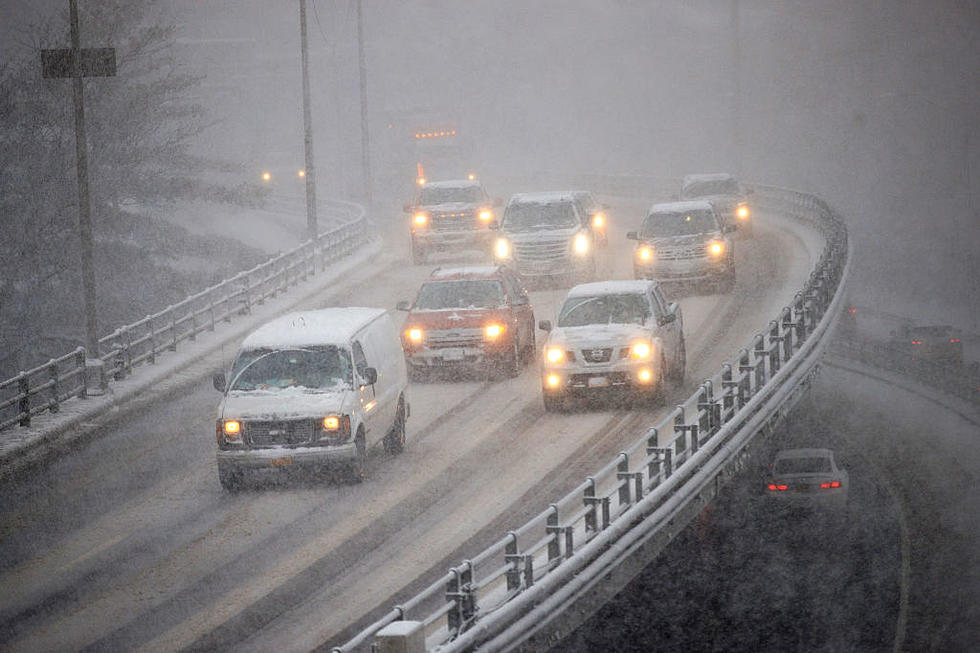
Thunderstorms With Heavy Rain Could Cause Flash Flooding In CNY
The National Weather Service (NWS) has issued a hazardous weather outlook for CNY this afternoon as thunderstorms with heavy rain are possible this afternoon and tonight.
Multiple rounds of heavy rain could cause a few locations to experience flash flooding. Urban areas will be more vulnerable.
Weather models are showing the NWS showers and thunderstorms in CNY late afternoon and evening. A few locations could get 1 to 2 inches but with growing vegetation, it shouldn`t be a problem. The best chance of a flash flood will be in urban areas tonight due to thunderstorms with heavy rain, but NWS is holding off on any flash flood watch for now.
Extended Forcast:
Today: A chance of showers and thunderstorms after 3pm. Some of the storms could produce heavy rain. Cloudy, with a high near 75. Southwest wind around 6 mph. Chance of precipitation is 30%. New rainfall amounts between a tenth and quarter of an inch, except higher amounts possible in thunderstorms.
Tonight: Showers likely and possibly a thunderstorm. Cloudy, with a low around 59. Light and variable wind. Chance of precipitation is 70%. New rainfall amounts between a quarter and half of an inch possible.
Thursday: A chance of showers, mainly before 2pm. Cloudy, then gradually becoming mostly sunny, with a high near 75. Northwest wind 6 to 10 mph. Chance of precipitation is 40%. New precipitation amounts of less than a tenth of an inch possible.
Thursday Night: Mostly clear, with a low around 51. Northwest wind 5 to 7 mph becoming calm in the evening.
Friday: Sunny, with a high near 75. Calm wind becoming northwest around 6 mph in the afternoon.
Friday Night: Mostly clear, with a low around 50.
Saturday: Sunny, with a high near 76.
Saturday Night: Mostly clear, with a low around 53.
Sunday: Sunny, with a high near 80.
Sunday Night: Partly cloudy, with a low around 57.
Monday: Partly sunny, with a high near 79.
Monday Night: A chance of showers. Mostly cloudy, with a low around 58. Chance of precipitation is 50%.
Tuesday: A chance of showers. Mostly cloudy, with a high near 73. Chance of precipitation is 50%.
Get up to information on power outages throughout Central New York; where it’s out and when it’ll be restored with National Grid’s Power Outage Map.
National Grid also offers text alerts on the latest efforts to restore power.
To receive free text message alerts and updates, text the word STORM to NGRID (64743). E-mail alerts are available to customers who create an online profile on the company’s website. All alert services can be started and stopped at the customer’s request.
You can even report power outages or get the latest information at the National Grid’s website.
Power Outage Preparation:
*Keep your cell phone charged and make sure you know where your backup power supply is.
*Make sure all your flashlights have fresh batteries.
*Fill your gas tank. You can use your car to keep warm and recharge devices.
*Have some food available that you don’t need to cook.
* Download The Eagle App. You’ll receive local alerts, weather reports and more with push notification.
More From 96.1 The Eagle