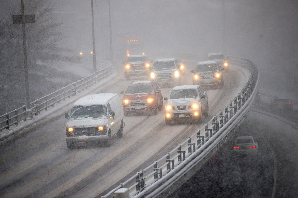
Steady Soaking Rain Sunday Could Cause Flooding In CNY
The National Weather Service out of Binghamton says rivers and streams are expected to reach caution stage with Sunday's rain.
Mild temperatures are expected today with increasing clouds and a few afternoon showers in the area. However, the main batch of showers will occur this evening as a front moves through the region, along with a chance of thunder. Rain ends overnight, leaving Saturday dry and warm.

A wetter system will arrive Sunday, with a soaking rain lasting into at least early Monday. Periods of light to moderate rain develop from west to east during the day, along with cooler temperatures. Then, Sunday night periods of moderate to occasionally heavy rain move across the entire forecast area with a chance of thunderstorms in the forecast. Several factors are pointing to a period of moderate to locally heavy rain developing.

Rivers and streams are expected to have some good rises, and could fairly easily reach action or caution stage...any minor flooding potential still remains uncertain at this time,
and will depend on exact rainfall amounts.
Extended Forcast:
Today: Mostly cloudy, with a high near 63. South wind 10 to 15 mph.
Tonight: Showers and possibly a thunderstorm before midnight, then a chance of showers. Low around 51. South wind 7 to 13 mph. Chance of precipitation is 90%. New precipitation amounts between a tenth and quarter of an inch, except higher amounts possible in thunderstorms.
Saturday: Mostly sunny, with a high near 66. West wind 7 to 14 mph.
Saturday Night: Partly cloudy, with a low around 38. West wind 3 to 8 mph.
Sunday: Showers likely, mainly after 2pm. Mostly cloudy, with a high near 55. Calm wind becoming east 5 to 9 mph in the afternoon. Chance of precipitation is 70%.
Sunday Night: Showers likely and possibly a thunderstorm, then periods of rain and possibly a thunderstorm after 8pm. Some of the storms could produce heavy rainfall. Low around 49. Chance of precipitation is 100%.
Monday: Showers. High near 57. Chance of precipitation is 90%.
Monday Night: Showers likely, mainly before 2am. Cloudy, with a low around 36. Chance of precipitation is 60%.
Tuesday: A chance of showers before 8am. Partly sunny, with a high near 54. Chance of precipitation is 30%.
Get up to information on power outages throughout Central New York; where it’s out and when it’ll be restored with National Grid’s Power Outage Map.
National Grid also offers text alerts on the latest efforts to restore power.
To receive free text message alerts and updates, text the word STORM to NGRID (64743). E-mail alerts are available to customers who create an online profile on the company’s website. All alert services can be started and stopped at the customer’s request.
You can even report power outages or get the latest information at the National Grid’s website.
Power Outage Preparation:
*Keep your cell phone charged and make sure you know where your backup power supply is.
*Make sure all your flashlights have fresh batteries.
*Fill your gas tank. You can use your car to keep warm and recharge devices.
*Have some food available that you don’t need to cook.
* Download The Eagle App. You’ll receive local alerts, weather reports and more with push notification.
More From 96.1 The Eagle