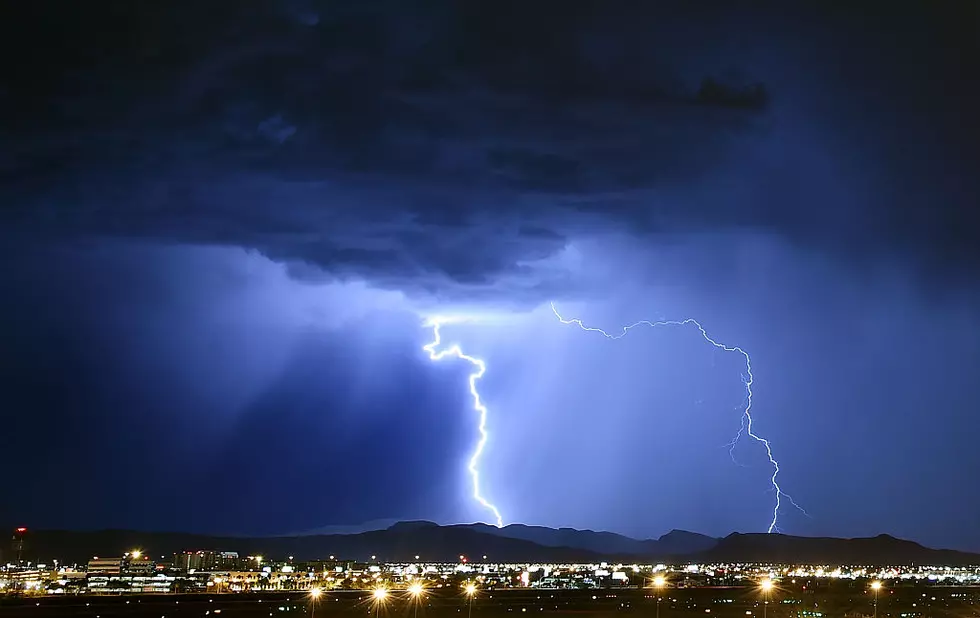
Severe Storms Possible Across Upstate & Central New York
After several days of sunny skies and warm temperatures, there's a very good chance for severe thunderstorms across our area Friday into Friday night. A hazardous weather outlook issued by the National Weather Service is predicting a strong cold front to pass through the area Friday which will cause strong storms to develop late Friday afternoon into Friday night. There's the potential for heavy rain, damaging winds and large hail.
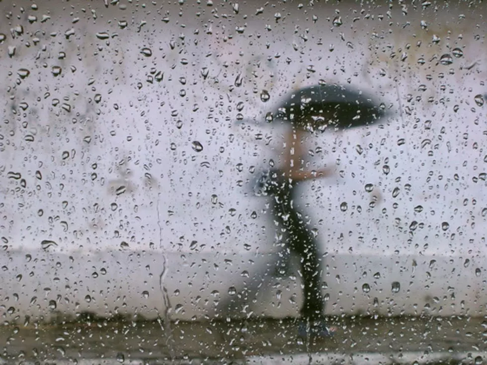
According to Syracuse.com - these storms will end an almost week long dry spell and bring our region back to a more rainy pattern, especially as we get further into August.
The cold front that is expected to come through will drop temperatures into the lower 70's Saturday, but not before ending the week in the upper 80's with the heat index approaching 90°.
The official National Weather Service forecast for our area calling for partly cloudy skies with a chance of showers and thunderstorms overnight. The low around 66°. Mostly sunny with showers and thunderstorms developing Friday afternoon and a high reaching 87°. More showers and thunderstorms Friday night. Low 67°.
BONUS VIDEO
More From 96.1 The Eagle