Rachael Witter 10/4 Update On Hurricane Matthew ~ Will It Impact CNY?
As Hurrican Matthew leaves a path of destruction on it's way to the United States, we asked Rachael Witter how the storm could impact CNY.
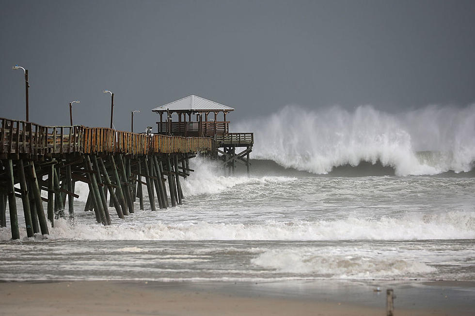
Rachael Witter Eyewitness New Cheif Meteorologist says Matthew is currently a Category 4 storm with maximum winds of 145 mph. It's moving north at 10mph and located right between Cuba and Haiti. The current path would bring significant impacts to Florida, the Carolinas, and Virginia.
Impacts on CNY look pretty low. Clouds, a little rain possible if it holds together and keeps on the current path
While it will be encountering cooler water and will weaken a little bit, the biggest thing is that there hasn't been a hurricane of this caliber making landfall in the US in a few years. It will still be a hurricane as it heads toward the coast.
Since it is still far from the US and there is still quite some time for it to potentially arrive, there is a lot of room for the forecast to shift. It all depends on a storm system coming off the Rockies that could essentially push it further out to sea if the timing is right.
Impacts on CNY look pretty low. Clouds, a little rain possible if it holds together and keeps on the current path. Hurricanes weaken greatly once they hit land.
Texture ~ The Best Of CNY Via Photos
More From 96.1 The Eagle