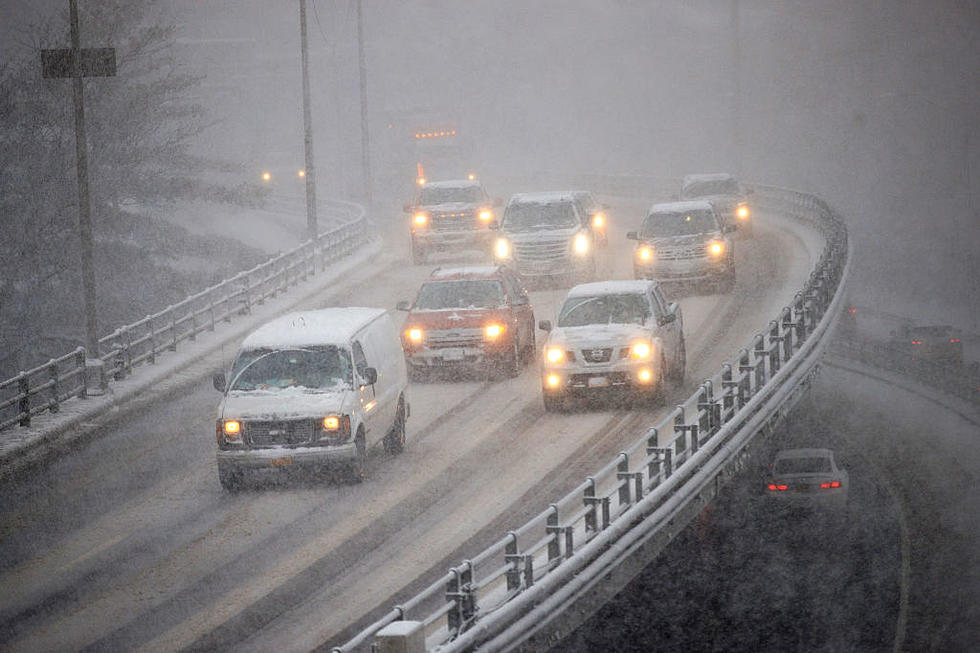
Alert Issued As Remnants of Hurricane Florence Will Hit Upstate NY
A Hazardous Weather Outlook has been issued for Central New York by the National Weather Service (NWS) out of Binghamton as the edge of Hurricane Florence roll into our area.
.LONG TERM /MONDAY THROUGH THURSDAY...
The concern is growing for locally heavy rainfall potential late Monday into Tuesday, with remnants of Florence getting caught up into the westerlies and passing through our region. We still seek better consensus with GFS (Global Forecast System) and Canadian models, but the ECMWF (European Center for Medium-Range Weather Forecast) for several runs now has told a similar story. The ECMWF has the remnants of Florence making a sharper right turn to go back up the eastern side of the Appalachians while deepening as an extratropical low. This scenario would pose a problem in term of heavy rainfall potential for much of the area...The models continue to take a more western path initially, then zip it more briskly across our region. This could also still produce locally heavy rainfall, though for the GFS the heaviest axis would be further north; roughly along the NY Thruway which is more capable of absorbing the rain compared to points south. All told, there is a high likelihood for rain, especially Monday night-early Tuesday. The only question is how much...
CNY Weather Forcast:
Today: Partly sunny, with a high near 80. Southeast wind around 6 mph.
Tonight: Patchy fog after 1am. Otherwise, mostly cloudy, with a low around 64. Light southeast wind.
Saturday: Patchy fog before 9am. Otherwise, partly sunny, with a high near 82. Calm wind.
Saturday Night: Partly cloudy, with a low around 64. Calm wind.
Sunday: Mostly sunny, with a high near 83. Light southeast wind.
Sunday Night: Partly cloudy, with a low around 63.
Monday: A chance of showers after 2pm. Mostly sunny, with a high near 80. Chance of precipitation is 40%.
Monday Night: Showers, mainly after 8pm. Low around 65. Chance of precipitation is 80%.
Tuesday: Showers likely, mainly before 2pm. Cloudy, with a high near 75. Chance of precipitation is 70%.
Tuesday Night: A chance of showers. Mostly cloudy, with a low around 60. Chance of precipitation is 40%.
Wednesday: Partly sunny, with a high near 69.
Wednesday Night: Partly cloudy, with a low around 48.
Thursday: Mostly sunny, with a high near 66.
IF YOU LOSE POWER:
National Grid's Power Outage Map shows where the downed power lines are and what they're doing to fix the situation. If you come across a downed power line, always assume it's live, as it could save your life. You can report or check a power outage they even give you a summary of the weather and remind you about carbon monoxide poisoning, also known as the silent killer.
National Grid offers several ways to keep up to date:
Receive text alerts
Sign up for National Grid state-level broadcast text alerts by texting the word STORM to NGRID (64743)*.
Outage news & updates
Receive local power restoration text alerts by texting the word SUM followed by your town, county, or state to NGRID (64743)*.
For example, if you live in Utica simply text SUM Utica.
Email notifications
Sign up for email alerts during storms as well as access to outage reporting and more.
GET THE LATEST ROAD CONDITIONS:
Keep Up To Date
Take us everywhere you go with our new App. Listen live with all of your favorite shows with fewer commercials. The new app lets you call, message or tweet at us anytime or send us photos and videos. The app also gives you the ability to receive notifications about breaking news, weather alerts, traffic advisories and school closings happening in and around Central New York.
Winter Weather Preparation:
- Keep your cell phone charged and make sure you know where your backup power supply is.
- Make sure all your flashlights have fresh batteries.
- Fill your gas tank. You can use your car to keep warm and recharge devices.
- Have some food available that you don’t need to cook.
- Download the App. You’ll receive local alerts, weather reports and more with push notifications.
More From 96.1 The Eagle