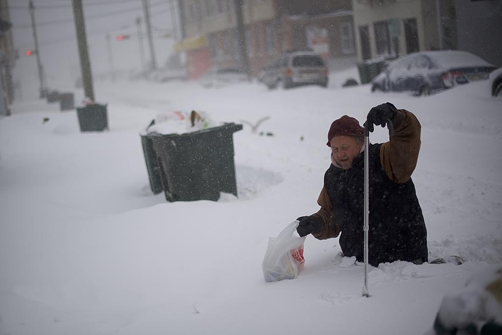
Nor’easter Snow Totals Could Be 12 to 30 Inches In CNY
The National Weather Service is calling for near blizzard conditions today with strong gusty winds as high as 50 mph.
...Winter Storm Warning remains in effect until 1 AM Saturday for Oneida and Herkimer County including the cities of Boonville, Rome, and Utica...
Total snow accumulations have been increased in CNY as this Winter Storm holds true to all the hype.
* WHAT...Heavy snow expected. Total snow accumulations of 7 to 12
inches, with localized amounts up to 18 inches in far southern
Oneida County.
* WHERE...Oneida County.
* WHEN...Snow will continue, heavy at times through the day today
before diminishing evening. Snow rates could be 1 to 2 inches per
hour at times.
* ADDITIONAL DETAILS...Plan on difficult travel conditions, including
during this morning`s commute. Tree damage and scattered power outages
expected from gusty winds and weight of snow. Winds gusting 35 to
45 mph will cause blowing and drifting snow.

WKTV is reporting that portions of Herkimer County will receive heavy wet snow making travel extremely difficult. Gusty winds as high as 50 mph will create drifting snow with whiteout conditions. That section in pink could get the highest snow totals from the storm with up to 30-inch possible producing thousands of power outages.
The National Weather Service says:
We can expect 40-50 mph winds during the afternoon and early evening hours. This will create areas of significant blow/drifting snow with near blizzard conditions possible at times over the higher terrain today. Scattered power outages will also be a problem as the initial snow is heavy/wet and will cling to the trees.
Today: Snow. The snow could be heavy at times. Patchy blowing snow afternoon. High near 33. Breezy, with a northwest wind 10 to 20 mph, with gusts as high as 33 mph. Chance of precipitation is 100%. Total daytime snow accumulation of around 8 inches.
Tonight: Snow showers likely, mainly before 10 pm. Areas of blowing snow before 9 pm. Cloudy, with a low around 30. Blustery, with a northwest wind 14 to 20 mph, with gusts as high as 31 mph. Chance of precipitation is 70%. New snow accumulation of around 2 inches.
Saturday: A chance of flurries with a slight chance of snow showers before 7 am, then a chance of flurries between 7 am and 1 pm. Cloudy, with a high near 40. Northwest wind 13 to 16 mph. Chance of precipitation is 20%.
Saturday Night: A chance of flurries. Mostly cloudy, with a low around 28. Northwest wind 9 to 13 mph.
Sunday: A chance of flurries before 1 pm. Partly sunny, with a high near 40. North wind 8 to 13 mph.
Sunday Night: Partly cloudy, with a low around 21.
Monday: Sunny, with a high near 42.
GET THE LATEST ROAD CONDITIONS:
Keep Up To Date
Take us everywhere you go with our new App. Listen live with all of your favorite shows with fewer commercials. The new app lets you call, message or tweet at us anytime or send us photos and videos. The app also gives you the ability to receive notifications about breaking news, weather alerts, traffic advisories and school closings happening in and around Central New York.
Winter Weather Preparation:
- Keep your cell phone charged and make sure you know where your backup power supply is.
- Make sure all your flashlights have fresh batteries.
- Fill your gas tank. You can use your car to keep warm and recharge devices.
- Have some food available that you don’t need to cook.
- Download the App. You’ll receive local alerts, weather reports and more with push notifications.
BONUS VIDEO:
More From 96.1 The Eagle