Winter Storm Warning: More Snow to Fall in Central New York This Weekend
Get those shovels ready. That weekend winter storm is expected to bring a lot more snow than previously thought.
The National Weather Service has updated most of Central New York from a Winter Storm Watch to a Winter Storm Warning, which goes in effect at 3 p.m. on Saturday.
The Latest Forecast
With the storm less than 24 hours away, forecasters have issued their final predictions for the amount of snow our region is expected to receive over the weekend.
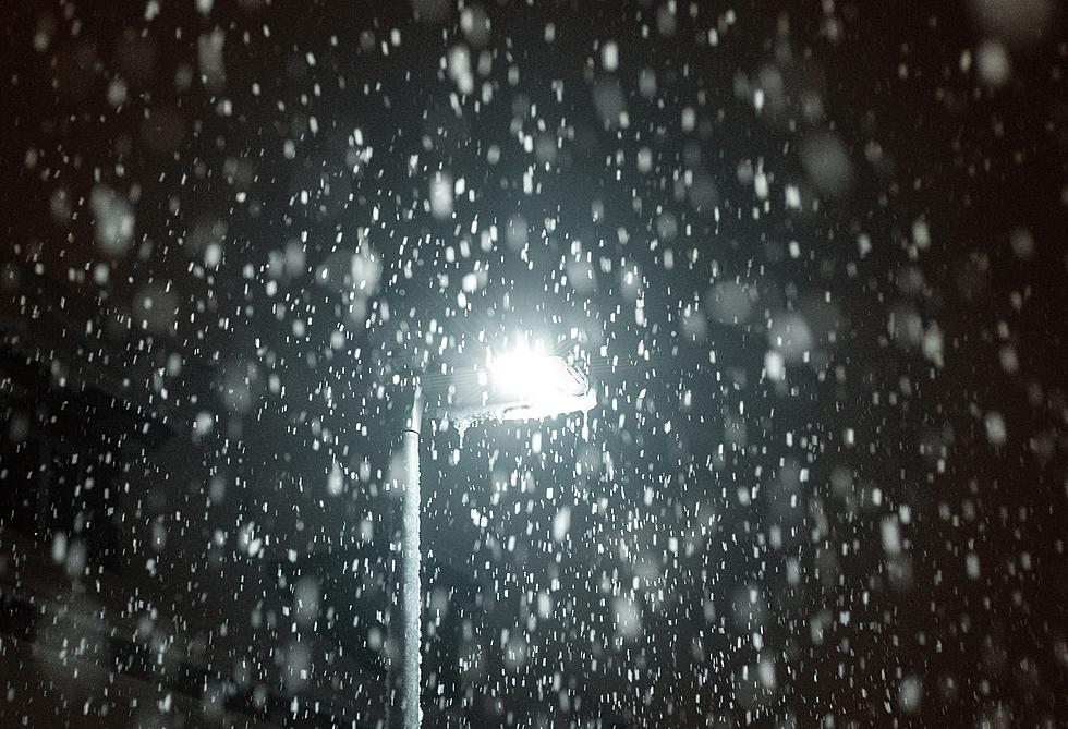
After a fairly calm start to the winter season, a charged weather pattern will produce the first significant snowfall in Central New York. The area should also brace for damaging winds and potential power outages.
Earlier in the week, there seemed to be a consensus that our region would be hit with a lighter band of snow and see somewhere around the 3-inch mark. Calls for lighter snowfall continued until this afternoon, when meteorologists were able to lock down the predicted path of the oncoming storm with confidence.
The National Weather Service is now saying the region will receive between 5 to 9 inches of snow from Saturday afternoon into Sunday night. The NWS also noted:
Snowfall rates may approach 1 inch per hour Saturday evening. Highest accumulations will be at higher elevations in southern Madison county with lower totals in the Mohawk valley.
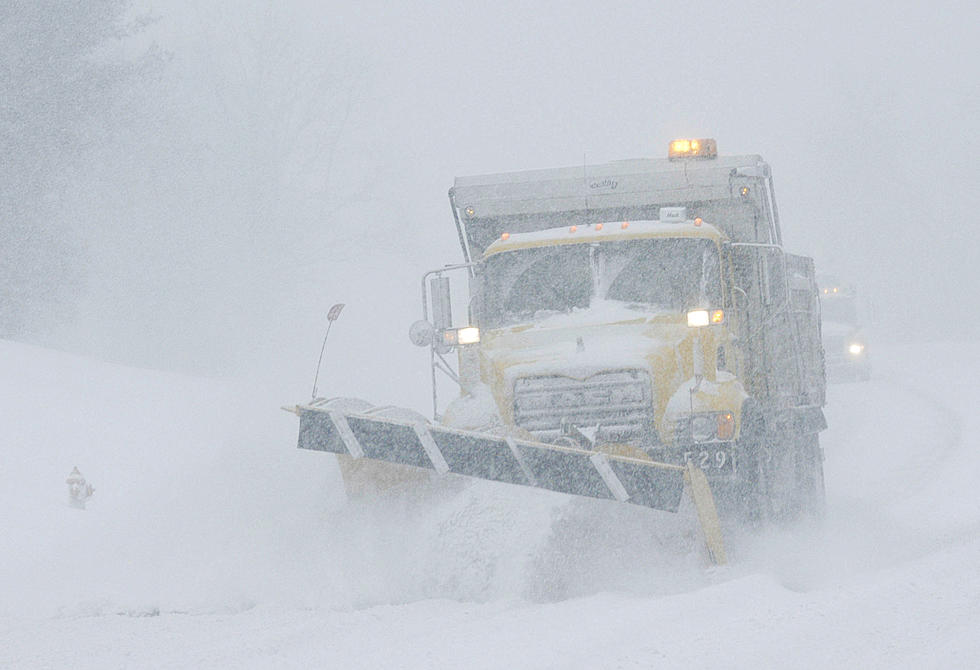
Forecasters are also cautioning against driving when the Winter Storm Warning is in effect due to the potentially hazardous road conditions. If people must drive, motorists are encouraged to have emergency supplies on them like blankets, flashlights, food and water.
The heaviest snowfall is slated to start falling late Saturday night, with current predictions estimating the first flakes around 8 o'clock in Madison, Oneida and Herkimer County. Overnight, meteorologists are calling for four inches of snow before the sun comes up on Sunday.
Read More: NWS Makes Massive Changes to Winter Storm Warning System
From then on, light snow is anticipated to fall until the storm exits the region around 7 at night.
The NWS also released the likelihood of the area receiving more than currently predicted. Currently, there is a 27 percent chance we'll see 8 inches of snow and, in the likelihood of us seeing a foot of snow, the current percentage stands at 3 percent.
Other Forecasts
The Weather Channel is keeping its snowfall totals on the conservative side and estimates the Utica area will receive roughly six inches of snow over the weekend, with the brunt of the snowfall coming down before Sunday morning.
However, their radar predicts snow showers will start around the 4 o'clock mark and really come down around 7 that evening.
As for AccuWeather, their radar suggests the Utica area will receive between 3 to 6 inches on Saturday and take on an additional 1 to 2 inches on Sunday.
All forecasts, including the NWS, say the heaviest snowfall will strike the south and eastern parts of New York, which could see up to a foot of snow when the storm is all said and done.
Good News for Shoveling
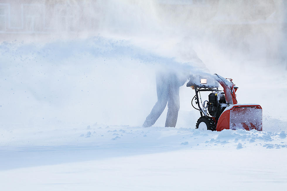
Although it's hard to call this a silver lining, those who plow or shovel their driveways can take some solace in knowing the ground has finally frozen. That means if your plow or shovel accidentally hits turf, you won't accidentally yank up a clump of grass and soil.
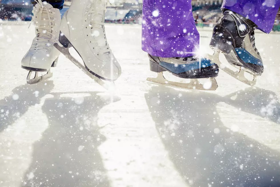
Also, now that the area is FINALLY getting that freezing cold winter weather, it means the lakes and ponds are finally starting to freeze over - meaning ice skating and ice fishing season is right around the corner.
In all, stay safe. Keep your distance from those plows and make sure you have enough milk and whipped cream to make a delicious mug of hot cocoa.
Winter has finally arrived in Central New York.

The Top 10 Snowiest Cities in New York State
Gallery Credit: Megan
10 Worst Years For Snow In Western New York
Gallery Credit: Getty Image, Canva Image, Pat McMahon