5 Great Drives to See the Great Lakes in New York State
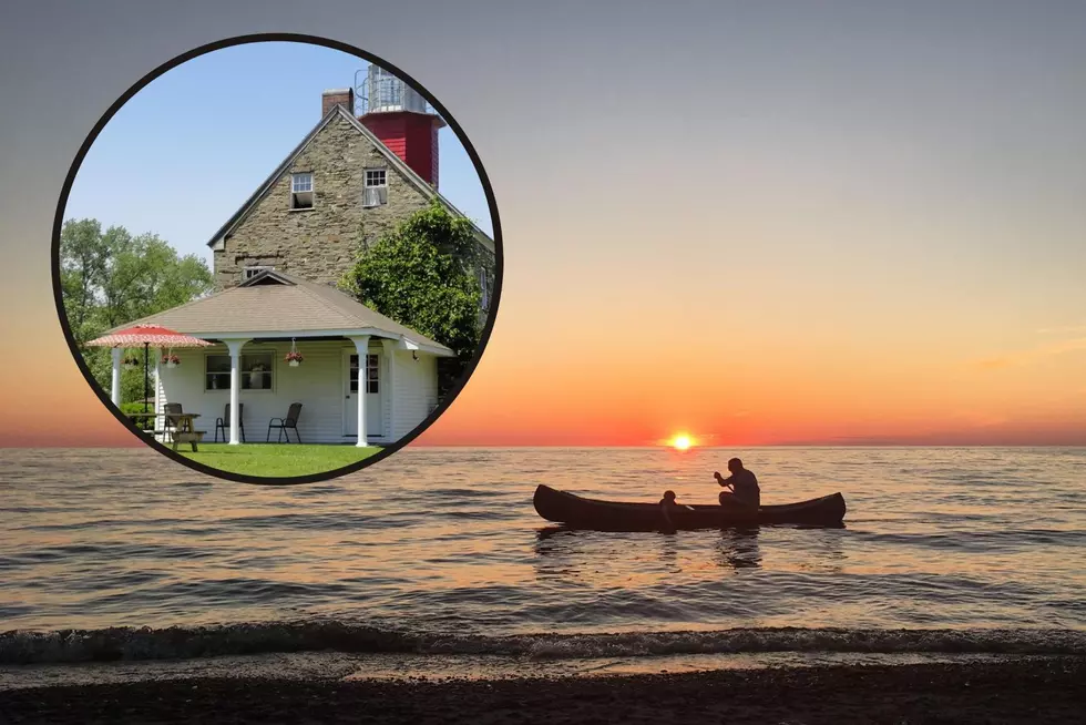
Two Great Lakes border New York. Even though Michigan gets the credit for being the Great Lakes State, New York has some amazingly scenic views of the Great Lakes to offer any traveler. Here are 5 great drives to see the Lake Erie and Lake Ontario shorelines in the Empire State.
- 1
Lake Road
Sodus Point to IrondequoitLake Road parallels a quiet, scenic section of Lake Ontario between Irondequoit, north of Rochester, to Sodus Point. Begin the drive at Sea Breeze amusement park, then cross the seasonal Irondequoit Bay Outlet Bridge (closed to vehicles in summer to allow for boat traffic) across Irondequoit Bay. Lake Road then travels through the small hamlet of Poultneyville to Sodus Point where it picks up Route 14 before dead-ending at Sand Point in Sodus Bay.
Lake Road in Webster/Google Maps Street ViewLake Road in Webster/Google Maps Street View - 2
Route 12E - Broadway Street
Cape VincentCape Vincent is the point where Lake Ontario spills into the Saint Lawrence River/Seaway on its long journey to the Atlantic Ocean. This is also the beginnings of the Thousand Islands. Follow West Broadway out of town (it becomes Jefferson County Route 6) to Tibbets Point Lighthouse.
The village of Cape Vincent is also home to one of New York's least known international borders, a ferry passage to Point Alexandria on Wolfe Island, Ontario.
Tibbetts Point Lighthouse/Eric Meier CollectionTibbetts Point Lighthouse/Eric Meier Collection - 3
Lake Ontario State Parkway
Rochester to Lakeside Beach State ParkFrom the city of Rochester to Lakeside Beach State Park in Orleans County, the LOSP runs within just feet of the lake shore for much of its 35-mile run offering sweeping views of the lake. And contrary to the legend of the Rochester Mirage, it's not likely you'll be able to see Toronto across the lake.
Lake Ontario State Parkway/Eric Meier CollectionLake Ontario State Parkway/Eric Meier Collection - 4
Route 5
Buffalo to RipleyBegin this drive along Lake Erie in downtown Buffalo on the city's Skyway which brings Route 5 over the Buffalo River. Route 5 is the closest highway to Lake Erie on New York's western shore, passing though hamlets like Lake Erie Beach after leaving the Buffalo metropolitan area and its suburbs. Route 5 passes through Dunkirk, the southwestern most city in the state where you'll want to make the short detour off the highway to Point Gratiot and Dunkirk's lakeshore. Moving southwest though the wine country in rural Chautauqua County, Route 5 meets Pennsylvania at the town of Ripley.
Point Gratiot in Dunkirk/Eric Meier CollectionPoint Gratiot in Dunkirk/Eric Meier Collection - 5
Route 18/18F
Lewistown to OlcottBeginning in Lewistown and skirting the Niagara River north of the falls, Route 18F rounds New York's northwestern-most corner at Fort Niagara in Youngstown. Moving east along Lake Ontario via Route 18, a corridor once envisioned to be an extension of the Lake Ontario State Parkway, the road passes through the small villages of Wilson and Olcott as well as Roosevelt Beach and Hopkins Beach.
Route 18 in Wilson/Google Maps Street ViewRoute 18 in Wilson/Google Maps Street View
More From 96.1 The Eagle


