Brace Yourself! Winter Weather Returns to CNY & May Hang Around Until April
We knew it was going to happen. We're going to pay for this unseasonably warm February weather we've been enjoying in Central New York. Winter is returning and could linger into April this year.
Brace yourself for a nearly 40-degree difference in temperature. The spring-like weather is coming to an end as a cold front moves in dropping temperatures from the mid-50s to the mid-teens.
"It will go from feeling like late April to like mid-February in about 24 hours," AccuWeather Chief On-Air Meteorologist Bernie Rayno said.
Rain and possible thunderstorms will also move into Central New York, changing over to sleet, snow, and freezing rain as temperatures fall. The National Weather Service says the Friday evening commute may be a slick one.
"A light coating of ice, sleet, and or snow is expected by Friday afternoon, which may make for slippery conditions."
More Storms On the Way
The end of the next week may end the same as this one. Another large storm is expected to move across the Midwest and into the Northeast, bringing snow and a wintry mix. Accuweather says it will likely cause major travel delays.
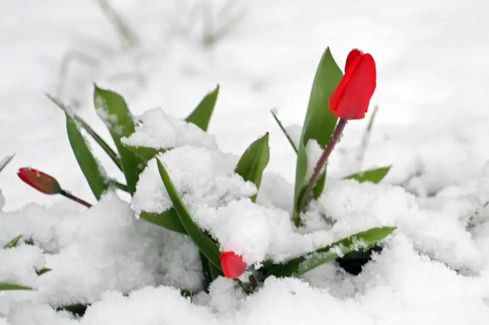
But wait, there's more. And it may impact your flowers and plants. The colder air is expected to hang around until late March and early April. "There could still be a couple of snowstorms during the late winter and early spring," AccuWeather Lead Long-Range Meteorologist Paul Pastelok said.
Most of New York State is below average when it comes to snow this winter. Buffalo and Watertown are the among few places with above-average totals, mainly thanks to the two big storms around the Christmas holiday.
Seeing spring snow in Central New York is nothing new. We've had it as late as Mother's Day on occasion. All we can do is enjoy the warm weather whenever it arrives.
Long Range CNY Forecast
Friday: Rain and snow showers before noon, then a chance of snow showers. Some thunder is also possible. Temperature falling to around 26 by 5 PM. Winds could gust as high as 30 mph.
Friday Night: A slight chance of snow showers between 9 PM and midnight. Mostly cloudy, with a low around 15.
Saturday: Mostly sunny, with a high near 39.
Saturday Night: Partly cloudy, with a low around 29.
Sunday: Mostly cloudy, with a high near 47.
Monday: Showers likely, mainly before 1 PM. Cloudy, with a high near 44.
Tuesday: A chance of showers after 1 PM. Mostly cloudy, with a high near 40.
Wednesday: A chance of rain and snow showers. Partly sunny, with a high near 40.
Thursday: Showers likely. Mostly cloudy, with a high near 47.