What Is ‘Bomb Cyclone’ Or ‘Bombogenesis’?
Are you up on your weather vocabulary? Do you know what a bomb cyclone is? Neither did we, but we do now.
A bomb cyclone, which is also called bombogenesis, is a winter hurricane. According to the National Oceanic and Atmospheric Administration, it "occurs when a mid-latitude cyclone rapidly intensifies," or quickly drops in atmospheric pressure, marking the strengthening of the storm.
Bombogenesis, a popular term used by meteorologists, occurs when a midlatitude cyclone rapidly intensifies, dropping at least 24 millibars over 24 hours. A millibar measures atmospheric pressure. This can happen when a cold air mass collides with a warm air mass, such as air over warm ocean waters. The formation of this rapidly strengtheining weather system is a process called bombogenesis, which creates what is known as a bomb cyclone.
This rapid intensification is supposed to take place Thursday before the storm slams into New England, then after the storm, its possible we'll experience the coldest temperatures yet this Winter.
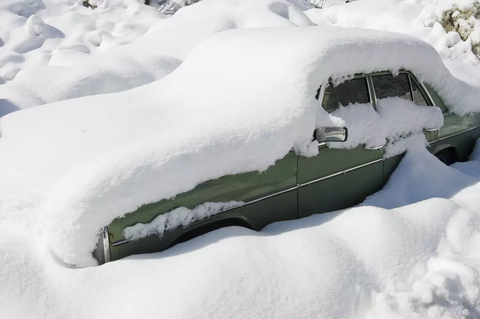
The National Weather Service has issued a Wind Chill Watch for Oneida, Otsego and Delaware County as this cold snap hits temperatures so low you can get frostbite in as little as 10 minutes on exposed skin. It looks like we will be spared the snow with this monster nor'easter but won't escape the fridged temperatures.
Here's the forecast from the National Weather Service:
Thursday: Snow showers likely, mainly after 1pm. Cloudy, with a high near 20. Light northwest wind increasing to 9 to 14 mph in the morning. Chance of precipitation is 60%. New snow accumulation of less than a half inch possible.
Thursday Night: Snow. Areas of blowing snow between 4am and 5am. Low around -1. Wind chill values as low as -19. Northwest wind 14 to 16 mph, with gusts as high as 28 mph. Chance of precipitation is 90%. New snow accumulation of around 2 inches.
Friday: Snow. Areas of blowing snow after 7am. High near 2. West wind 14 to 18 mph, with gusts as high as 31 mph. Chance of precipitation is 80%.
Friday Night: Snow likely. Cloudy, with a low around -11. Chance of precipitation is 70%.
Saturday: A chance of snow showers. Mostly cloudy and cold, with a high near -2. Chance of precipitation is 30%.
Saturday Night: A chance of snow showers before 1am. Mostly cloudy, with a low around -15. Chance of precipitation is 30%.
Sunday: A chance of snow showers. Mostly cloudy, with a high near 18. Chance of precipitation is 40%.
Bonus Video:
More From 96.1 The Eagle