Timing For Icy Wintry Mix In CNY
The National Weather Service out of Binghamton (NWS) has issued a Winter Weather Advisory for all of Central NY until 3 pm this afternoon.
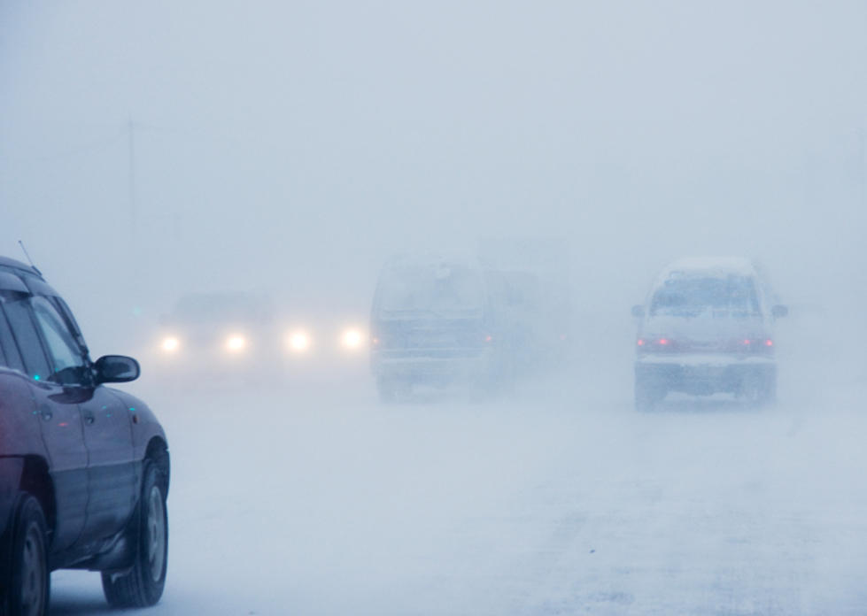
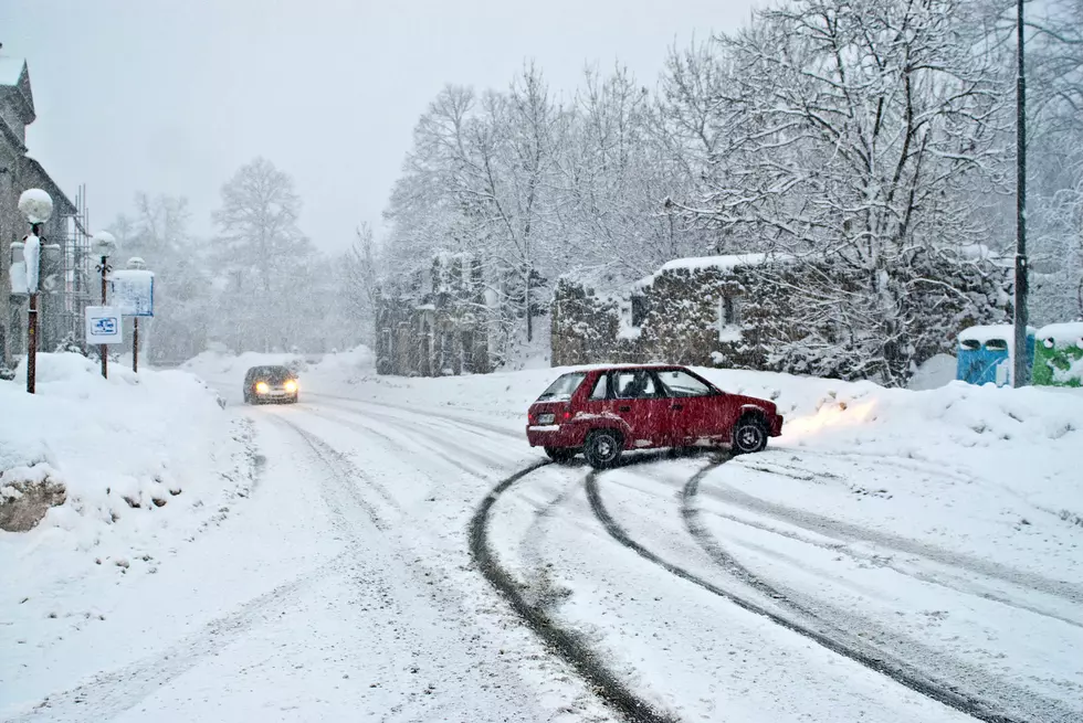
CNY will see some ice accumulations from freezing rain, you should plan on slippery conditions especially on area roadways and in parking lots.
Air temperatures will rise above freezing this afternoon-early evening, but with our recent Arctic outbreak, COLD GROUND/ROAD temperatures may still support more ice formation as rain falls. Be very careful on roads that appear wet today; they could easily contain ice
General Timing
Icy wintry mix develops this morning. Mid-morning through early afternoon, it continues east across Central NY, and then across Northeast PA this afternoon. Snow, sleet, and freezing rain will change to rain during the afternoon and early evening. Ice will persist longest at higher elevations.
NWS has two concerns:
- Temperatures will be warm enough just a few thousand feet off the ground, to result in freezing rain/sleet becoming the primary precipitation types.
- The very cold ground from the Arctic air mass will be slower to respond than the air temperatures. Known road temperatures are only in the mid teens
to lower 20s...This will rise somewhat as the day carries on, but not in time to prevent icing from occurring on untreated roads even as air temperatures get a bit above freezing.
A Winter Weather Advisory means that periods of snow, sleet or freezing rain will cause travel difficulties. Expect slippery roads and limited visibilities, and use caution while driving.
Extended NWS Forcast:
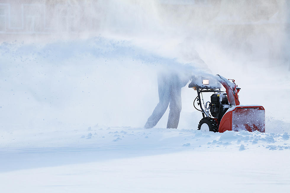
Winter Weather Preparation:
- Keep your cell phone charged and make sure you know where your backup power supply is.
- Make sure all your flashlights have fresh batteries.
- Fill your gas tank. You can use your car to keep warm and recharge devices.
- Have some food available that you don’t need to cook.
- Download the Eagle App You’ll receive local alerts, weather reports and more with push notifications.
More From 96.1 The Eagle