More Flooding Possible Late this Week
It's possible we could see some more flooding with the next storm system forecast to set up over our area Wednesday night. According to Syracuse.com, the system looks like the same one that brought significant amounts of rain and caused considerable amounts of flooding in Central New York on July 1st.
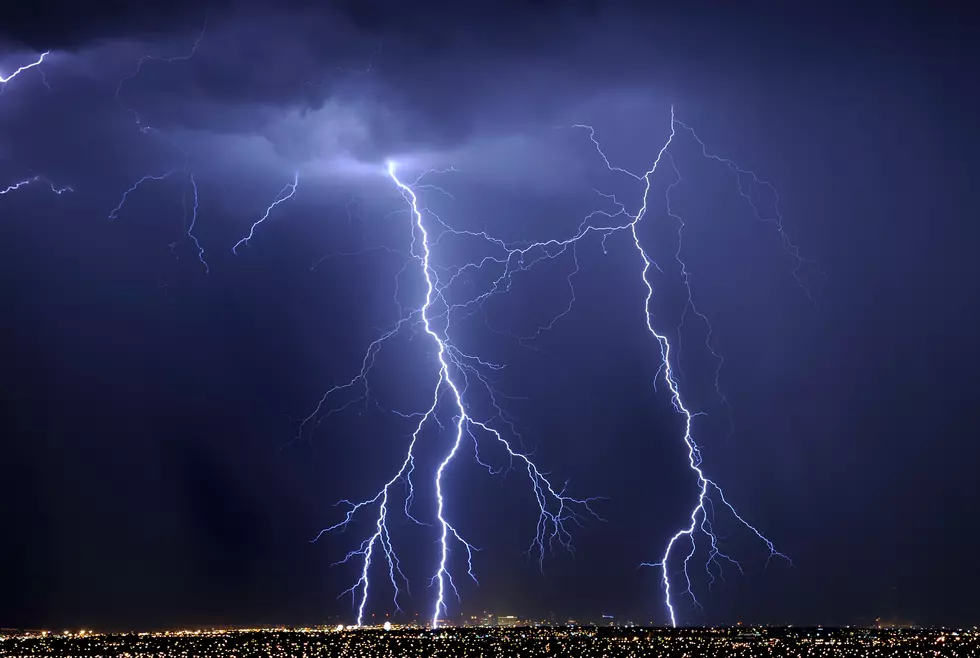
The National Weather Service is forecasting a cold front to push through late Wednesday into Thursday, bringing with it showers and thunderstorms. Some of those storms could result in some flash flooding dropping an inch or more of rain especially in the areas where drenching rain and thunderstorms persist.
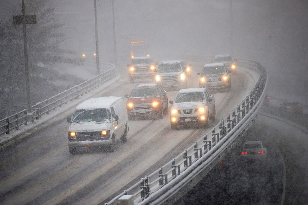
During the July 1st storm, some areas in Oneida county received in excess of 4 inches of rain in the 24 hour period between June 30 and July 1st. The flooding caused many municipalities within Oneida, Herkimer and Madison counties to close several streets, roads and bridges.
The weather service office out of Binghamton is calling for partly sunny skies with isolated showers and late afternoon thunderstorms Wednesday. High temperature near 85° - The bottom drops out Wednesday night and Thursday with numerous showers and thunderstorms. Rain becoming heavier overnight Wednesday continuing into Thursday. The low Wednesday night 66° - High on Thursday near 80°.
Click here for an updated weather forecast -
BONUS VIDEO
More From 96.1 The Eagle