Hazardous Weather Possible In CNY ~ UPDATE
UPDATE: 5/30/17 12:50 pm: A Severe Thunderstorm Watch is now in effect until 8 PM tonight for Central New York.
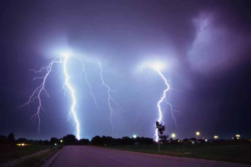
The National Weather Service out of Binghamton has upgraded a hazardous weather outlook for CNY to a Severe Thunderstorm Watch.
A Severe Thunderstorm Watch is issued when severe thunderstorms are possible in and near the watch area. It does not mean that they will occur. It only means they are possible. Severe thunderstorms are defined as winds of 58 mph or higher and/or hail 1 inch in diameter or larger.
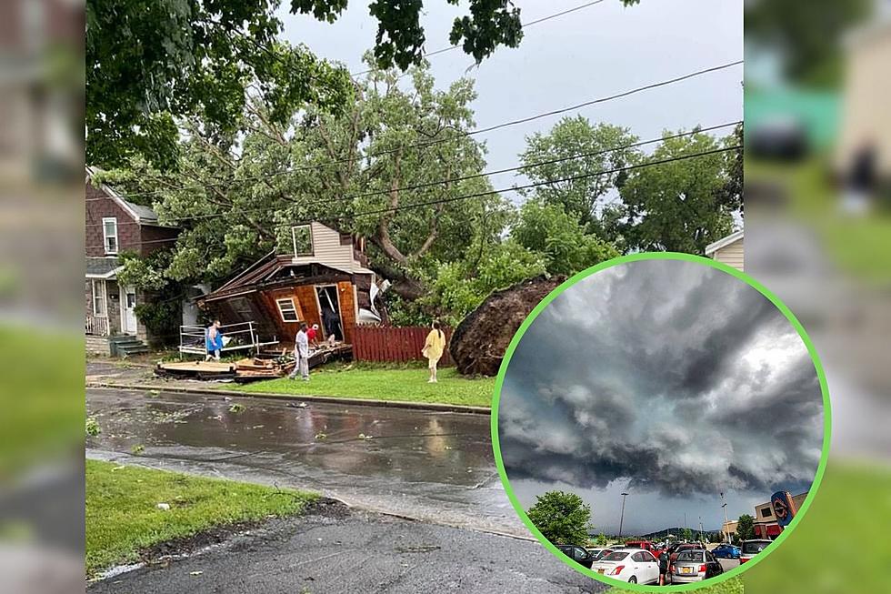
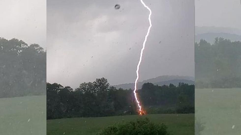
In anticipation of the severe thunderstorms expected today, the National Weather Service has issued a hazardous weather outlook for all of central New York. Thunderstorms are supposed to develop this afternoon, and a few of these storms could become severe with damaging winds and large hail. Brief heavy rain will also be possible in any thunderstorms. The most favorable time for storms will be during the afternoon and evening.
Syracuse.com is reporting a 15 percent chance of hail and high winds and a 2 percent chance of a tornado in Upstate NY as per the Storm Prediction Center.
We'll experience another round of storms tomorrow. Those storms
could also become strong to severe with damaging winds the main threat.
You can stay up to date on any local breaking weather reports and send us your weather-related photos via the FREE Eagle App.
Bonus Video:
More From 96.1 The Eagle