National Weather Service Issues Lake Effect Snow Watch For CNY
The National Weather Service in Binghamton has issued a Lake Effect Snow Watch Thursday evening through late Friday night. Here's what we know so far.
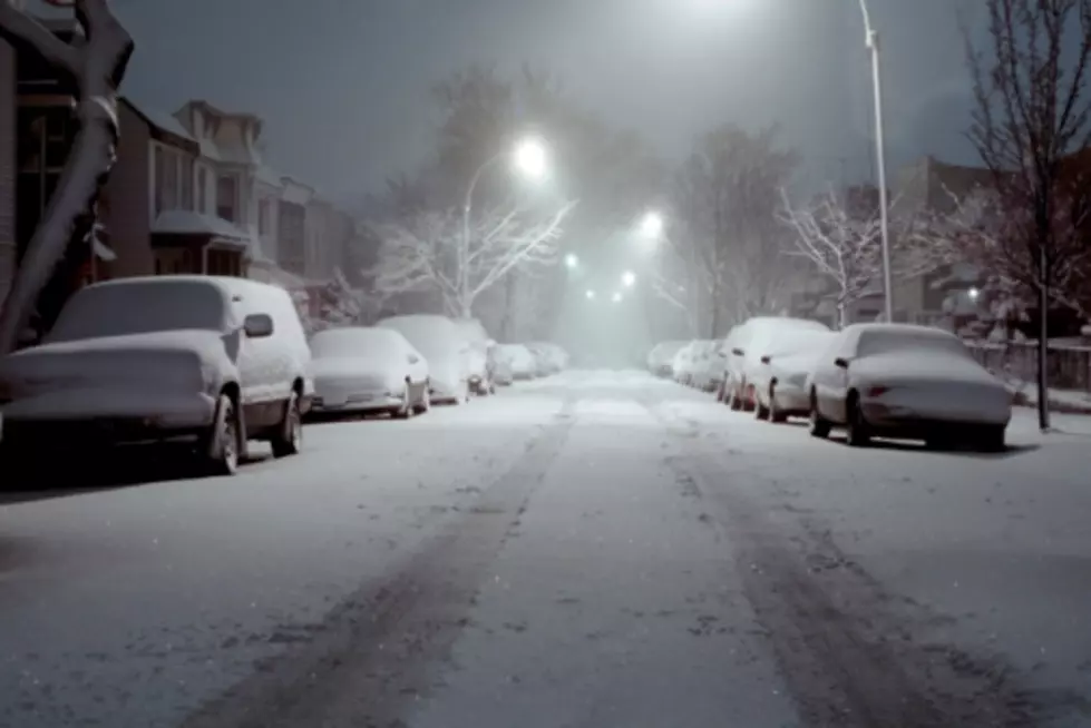
Remember, a Lake Effect Snow Watch means there is a potential for a large amount of snow in only a few hours. That means visibility on the road, depth of snow, all can be impacted.
Here's what they are reporting on for locations and how much snow we are looking at:
* LOCATIONS...SOUTHERN ONEIDA AND CAYUGA COUNTIES ALONG WITH ONONDAGA AND MADISON COUNTIES.
* ACCUMULATIONS...A FOOT OR MORE OF SNOW POSSIBLE IN THE MOST PERSISTENT LAKE EFFECT SNOW BANDS.
* TIMING...MAINLY AFTER MIDNIGHT THURSDAY NIGHT, THROUGH FRIDAY NIGHT.
* IMPACTS...HEAVY LAKE EFFECT SNOW WILL LEAD TO SIGNIFICANT ACCUMULATIONS OF SNOW ALONG WITH VERY POOR VISIBILITIES AT TIMES. THIS WILL RESULT IN VERY DANGEROUS TRAVEL.
* TEMPERATURES...IN THE MID 20S."
EyeWitness News Chief Meteorologist Rachael Witter forecasts Utica will be on the low end of this storm looking at a foot plus mainly in the Madison county area. Rome will end up with a little more snow than Utica. Also she reports the further north and west you go the more snow you will find.
BONUS VIDEO
More From 96.1 The Eagle