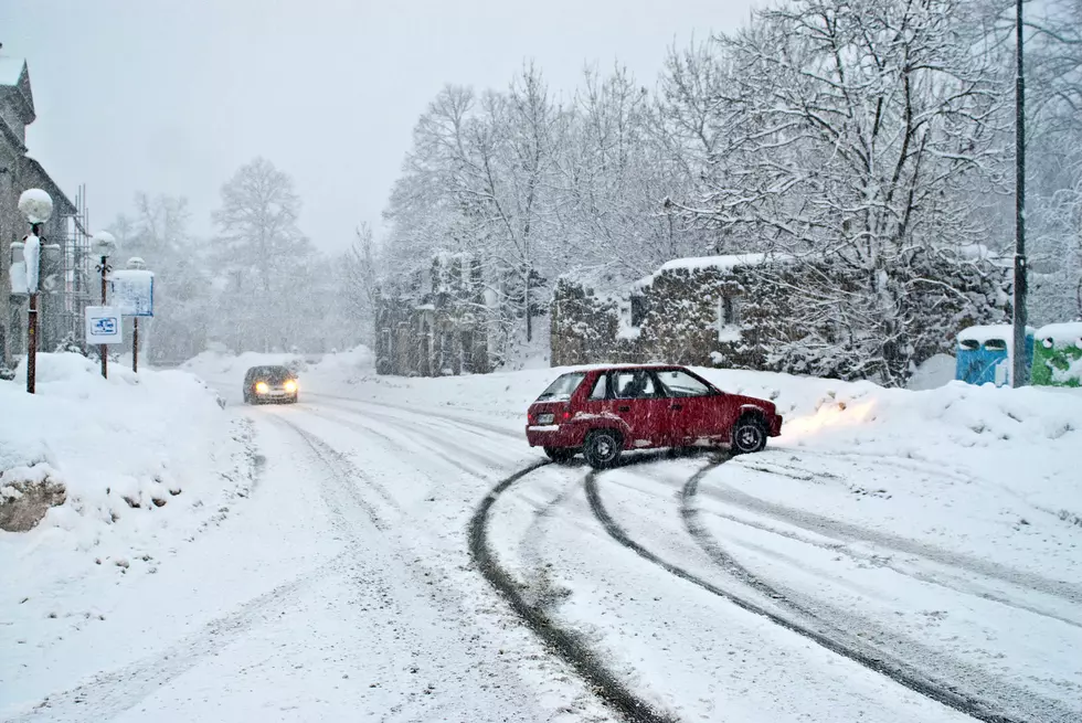
Damaging Winds With Power Outages Possible This Weekend in CNY
Rain will develop across the area Saturday night and if temperatures drop we'll see sleet and freezing rain. A strong low-pressure system is expected to cause gusty winds Sunday through Monday. There's potential for the winds to be damaging, including the possibility of some power outages in parts of the area.
Saturday...A powerful storm spinning into the Ohio Valley will spread mixed precipitation into our southern forecast area Saturday morning. Temperatures will climb into the 40s during the day and change the precipitation to rain as it spreads across the region. Colder temperatures Saturday night will cause a mix of rain and sleet to fall, especially along and east of I-81.
Sunday...The cyclone (A large-scale circulation of winds around a central region of low atmospheric pressure, counterclockwise in the Northern Hemisphere, clockwise in the Southern Hemisphere) will track into Northern Michigan on Sunday and pull very mild air and rain showers into NY and PA. Temperatures will climb above 50 degrees by Sunday afternoon before the cyclone drags a strong cold front across our region and changes the rain showers over to snow showers late Sunday night. The cyclone and cold front will be accompanied by very gusty winds.
Monday and Tuesday...Polar air behind the cyclone will pour into NY and PA during this period. Scattered lake effect snow showers are anticipated.
Extended NWS Forcast:
Today: Scattered sprinkles and flurries. Mostly cloudy, with a high near 39. Breezy, with a west wind 17 to 20 mph, with gusts as high as 31 mph.
Tonight: Scattered flurries before 4am. Mostly cloudy, with a low around 23. West wind 11 to 17 mph, with gusts as high as 28 mph.
Friday: Partly sunny, with a high near 36. West wind around 9 mph.
Friday Night: Partly cloudy, with a low around 17. West wind around 5 mph becoming calm in the evening.
Saturday: Partly sunny, with a high near 41. Calm wind becoming southeast 5 to 7 mph in the morning.
Saturday Night: Rain. Low around 35. Chance of precipitation is 80%.
Sunday: Showers likely. Cloudy, with a high near 49. Chance of precipitation is 70%.
Sunday Night: Rain showers likely before 1am, then snow showers likely. Cloudy, with a low around 27. Chance of precipitation is 60%.
Monday: A chance of snow showers. Mostly cloudy, with a high near 30. Chance of precipitation is 40%.
Monday Night: Mostly cloudy, with a low around 11.
Tuesday: Mostly sunny, with a high near 28.
Tuesday Night: A chance of snow showers. Mostly cloudy, with a low around 18. Chance of precipitation is 40%.
Wednesday: A chance of snow showers. Mostly cloudy, with a high near 31. Chance of precipitation is 40%.
[NWS]
Keep Up-To-Date
Get up to information on power outages throughout Central New York; where it’s out and when it’ll be restored with National Grid’s Power Outage Map.
National Grid also offers text alerts on the latest efforts to restore power.
To receive free text message alerts and updates, text the word STORM to NGRID (64743). E-mail alerts are available to customers who create an online profile on the company’s website. All alert services can be started and stopped at the customer’s request.
You can even report power outages or get the latest information at National Grid’s website.
Power Outage Preparation:
*Keep your cell phone charged and make sure you know where your backup power supply is.
*Make sure all your flashlights have fresh batteries.
*Fill your gas tank. You can use your car to keep warm and recharge devices.
*Have some food available that you don’t need to cook.
* Download The Eagle App. You’ll receive local alerts, weather reports and more with push notification.
More From 96.1 The Eagle