
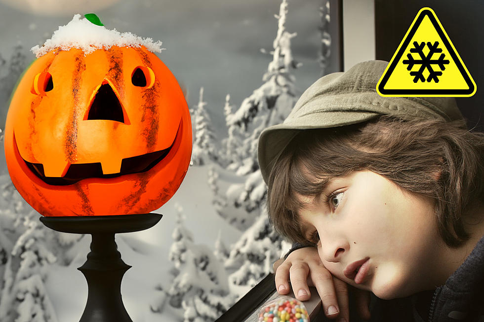
A Wintery Mix with Freezing Rain and Flooding Possible In CNY
We have a quick hitting system making it's way to central New York bringing light snow, sleet, freezing rain and possibly flooding with insane temperature swings from the mid 20's to the mid 50's.
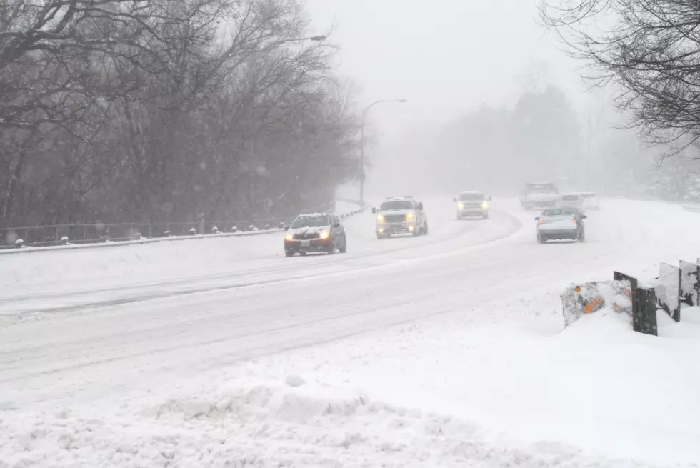
For today the National Weather Service out of Binghamton says we can expect remaining snow to continue to melt quickly with afternoon highs ranging in the upper 40's. With tonight's cold temperatures in the mid 20's tomorrow mornings precipitation will give us a mix of light snow, sleet, and freezing rain especially over the higher terrain as well as areas near and east of the I-81 corridor. This wintry mix should hang on longest up over Oneida and Otsego counties, then down through the Catskills. Even in these areas, though, temperatures should climb above freezing by late morning (9-11 am).
Steady light rain early Tuesday afternoon should begin to taper off to scattered showers later in the day, as a warm front approaches. By late Tuesday afternoon, temperatures should reach the reach the 40s throughout CNY. The National Weather Service also says:
Tuesday night a warm front lifts northeast through the area as a surface low moves northeast from Detroit. The low will be moving down the St Lawrence seaway Wednesday. NEPA will be mostly dry Tuesday night but rain amounts in NY especially along and north of the NY Thruway could be significant. Fortunately, the warm
front keeps moving so maybe another half inch of rain Tuesday night. Combined with the rain Tuesday afternoon, amounts could exceed an inch. This rain added to snowmelt might lead to isolated flooding for the far northeast counties including
Oneida County.
Today: Mostly sunny, with a high near 43. Calm wind becoming west 5 to 7 mph in the afternoon.
Tonight: Increasing clouds, with a low around 29. Light and variable wind.
Tuesday: A chance of snow and freezing rain before 10 am, then rain and snow likely between 10 am and noon, then rain after noon. High near 45. Southeast wind 7 to 10 mph. Chance of precipitation is 100%. Little or no ice accumulation expected. New snow accumulation of less than a half inch possible.
Tuesday Night: Rain likely. Cloudy, with a low around 42. Southeast wind 11 to 13 mph. Chance of precipitation is 70%. New precipitation amounts between a quarter and half of an inch possible.
Wednesday: Showers likely, mainly before 2 pm. Cloudy, with a high near 52. Breezy, with a south wind 9 to 14 mph becoming west 18 to 23 mph in the afternoon. Winds could gust as high as 33 mph. Chance of precipitation is 70%.
Keep Up To Date
Take us everywhere you go with our new App. Listen live with all of your favorite shows with fewer commercials. The new app lets you call, message or tweet at us anytime or send us photos and videos. The app also gives you the ability to receive notifications about breaking news, weather alerts, traffic advisories and school closings happening in and around Central New York.
Winter Weather Preparation:
- Keep your cell phone charged and make sure you know where your backup power supply is.
- Make sure all your flashlights have fresh batteries.
- Fill your gas tank. You can use your car to keep warm and recharge devices.
- Have some food available that you don’t need to cook.
- Download the App. You’ll receive local alerts, weather reports and more with push notifications.
BONUS VIDEO:
More From 96.1 The Eagle


![[GALLERY] Winter Weather Driving Tips You Should Be Aware Of](http://townsquare.media/site/497/files/2022/01/attachment-emma-londyn-4wHQUVpsW9c-unsplash.jpg?w=980&q=75)

